What is recorded here
On a gently rising valley floor in rolling grassland. There are very good views in all directions. A roughly square area (int. dims. 41m N-S; 39m E-W) enclosed by a wide earthen bank (Wth c. 3m; int. H 0.4m; ext. H 0.8m). The sides of the monument are straight and the corners are slightly rounded. There are two gaps in the bank, one at the W end of the N side (Wth 5m) and one at the E end of S side (Wth 2-3m). There is a hollow (dims. 9m x 3m; D c. 0.5m) in the interior towards the middle of the W bank, with upcast to the N and S.
Compiled by: Jean Farrelly
Date of upload: 31 October 2017
The monument record does not grant public access. Check the route and ask the landowner before entering private land.
- What survives
- Recorded monument
Places near here
 farm housefarm house · 299 yd
 Enclosure in RathoscarEnclosure · 560 yd
 CastleCastle, unclassified · 598 yd
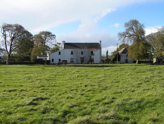 Ballyspellan Housefarm house · 1266 yd
 TombTomb, effigial · 1507 yd
 Street fieldArchaeological place · 1.1 mi
 Glashare CastleCastle, tower house · 1.1 mi
 DelaneyMemorial · 2.0 mi
 John HelyMemorial · 2.1 mi
 Clomantagh HillMountain / peak · 2.4 mi
 The CopseWood · 5.8 mi
 Anker's IslandIsland · 7.6 mi