What is recorded here
Identified from an aerial photograph (Bruff Survey: Map 23, Bruff 239: AP 4/3685) and described by Doody (2008, 132) as a 'large subrectangular enclosure, c. 110m x 60m'; the morphology of this enclosure indicates that it may be Bronze Age in date (ibid.).
Compiled by: Denis Power
Date of upload: 6 November 2013
The monument record does not grant public access. Check the route and ask the landowner before entering private land.
- What survives
- Recorded monument
Places near here
 Mound in BaskethillMound · 249 yd
 BarrowBarrow, ring-barrow · 671 yd
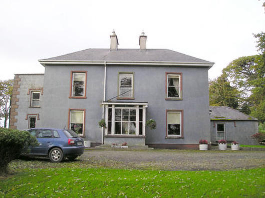 Cloverfield Housecountry house · 924 yd
 garda station/constabulary barracksgarda station/constabulary barracks · 1553 yd
 Ballyvorneen Ho.Castle, tower house · 1681 yd
 CastleCastle, unclassified · 1.4 mi
 KnockseefinMountain / peak · 2.7 mi
 St. Patrick's WellSpring · 2.9 mi
 Kilteely HillMountain / peak · 3.3 mi
 ToberagaddySpring · 4.1 mi
 Graveyard in AbingtonGraveyard · 4.7 mi
 Flat cemetery in Knockainy WestFlat cemetery · 6.5 mi