What is recorded here
Listed in the SMR (1989) and classified 'Enclosure Possible'. Not included in the RMP (1995). Not indicated on any edition of the OS 6-inch map. Its inclusion in the SMR was based on the of a feature identifed from a high level aerial photograph (OS 1 3307-8, Roll 160, Pr. 25). Upon inspection no archaeological remains were identified. However this is visible on the OSi 2010 aerial photograph. It is comprises a subrectanglar feature of which only the W (present L c.37m) and the S (present L c.63.5m) sides are now visible. The enclosing element appears to be a low bank. The S side is slightly curvilinear in plan projecting out in a S direction. The N side is now defined by a road whilst the E side is defined by a house and garden. On the basis of the above evidence it is impossible to determine whether this is a monument or simply a small field.
Compiled by: Patrick O'Donovan
Date of upload: 01 October 2013
The monument record does not grant public access. Check the route and ask the landowner before entering private land.
- What survives
- Recorded monument
Places near here
 TobernaveenHoly well · 430 yd
 Enclosure in BallydooganEnclosure · 651 yd
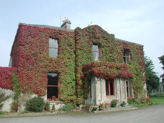 Woodville Househouse · 705 yd
 Carrowmore Megalithic CemeteryHeritage attraction · 1443 yd
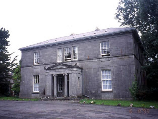 Kevinsfort Househouse · 1463 yd
 Carrowmore Visitors CentreVisitor information · 1561 yd
 St. John's CathedralMemorial · 1.7 mi
 Famine MemorialMonument · 1.8 mi
 Discover IrelandVisitor information · 1.8 mi
 CastleCastle, Anglo-Norman masonry castle · 1.8 mi
 Castle (in Ruins)Castle, unclassified · 1.9 mi
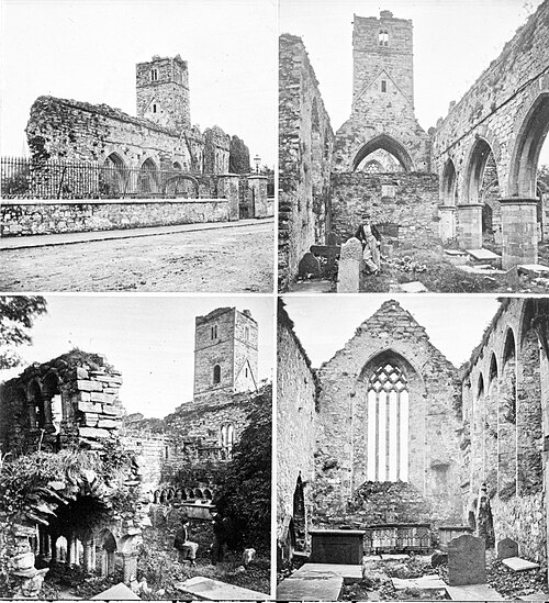 Sligo AbbeyMuseum · 2.0 mi