What is recorded here
Situated immediately S of a field boundary in undulating pasture. Sub-oval area (c. 25m NW-SE) defined by an inner scarped edge (H 0.8m; Wth. 6.25m) and an outer scarped edge (H 0.7m; Wth 5.3m) from N to SE, giving the profile here a stepped appearance. Otherwise there is no evident enclosing element. Uneven Interior surface is uneven and under pasture, it slopes generally down to the SE.
Compiled by: Denis Power
Date of upload: 2 April 2013
The monument record does not grant public access. Check the route and ask the landowner before entering private land.
- What survives
- Recorded monument
Places near here
 Fulacht fia in CloghaclokaFulacht fia · 419 yd
 Burnt mound in CloghaclokaBurnt mound · 476 yd
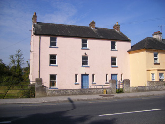 RIC barracksRIC barracks · 1341 yd
 Duane Villepresbytery/parochial/curate's house · 1425 yd
 Castle FieldCastle, unclassified · 1.1 mi
 Ballinveala Castle (in ruins)Castle, tower house · 2.9 mi
 Sailors HaggardMemorial · 4.5 mi
 King's IslandIsland · 5.5 mi
 Grass IslandIslet · 6.7 mi
 Maiden RockNamed rock · 7.0 mi
 Mellon PointHeadland · 7.6 mi
 Kinnoor WellSpring · 7.6 mi