What is recorded here
In pasture, on sharp N-facing slope. Sharp dip down to NW into stream gully. Depicted on 1901 OS 6-inch map as sub-rectangular enclosure incorporated into S field boundary. Levelled; no visible surface trace evident. Kink in earthen field boundary (int. H 1m; ext. H 1.2m) visible E->SW. Interior under pasture.
Compiled by: Denis Power
Date of upload: 26 August 2011
The monument record does not grant public access. Check the route and ask the landowner before entering private land.
- What survives
- Recorded monument
Places near here
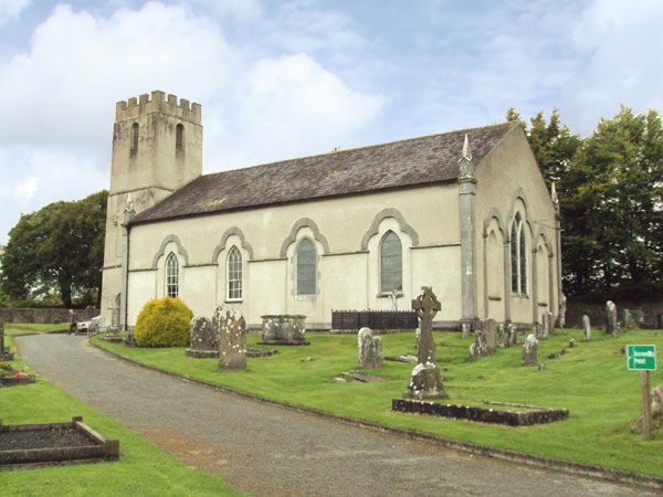 St Marys WellHoly well · 1037 yd
 St Benjamins WellHoly well · 1076 yd
 Tullylease Church (in ruins)Church · 1127 yd
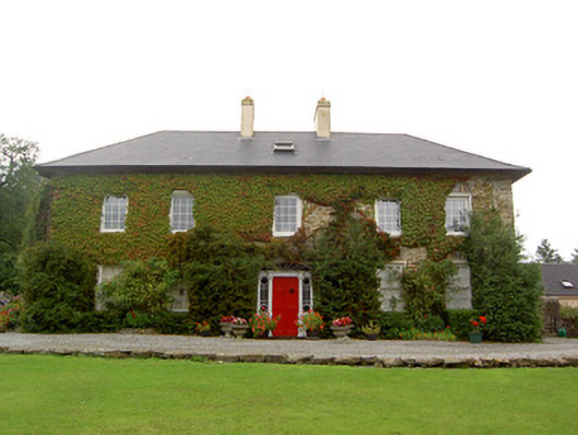 Tullylease Housecountry house · 1.0 mi
 National Co-op MuseumMuseum · 1.8 mi
 Castle (in ruins), Springfield CastleCastle, tower house · 1.9 mi
 Castle LisheenCastle · 2.7 mi
 ToberacappeenSpring · 2.9 mi
 ToberhoranSpring · 3.9 mi
 Mullaghareirk - Banane LoopWalking route · 4.6 mi
 Ballagh MountainMountain / peak · 6.4 mi
 Stanner's Glen, Priory WoodWood · 6.9 mi