What is recorded here
Situated in gently undulating pasture on slight N-facing slope. Two co-joined enclosures. The bank of the S enclosure links to the bank of the N enclosure (SL005-081001-) at SE and at SSW. The S enclosure is a circular raised area (diam. 15m) enclosed by a very degraded bank of rubble limestone (Wth 3.7m; int. H 0.2m). The external face of the bank is incorporated into a NW-SE orientated drystone field wall SW-W. Original entrance not recognisable.
Compiler: Patrick F. O'Donovan
Date of upload: 25 April 2013
The monument record does not grant public access. Check the route and ask the landowner before entering private land.
- What survives
- Recorded monument
Places near here
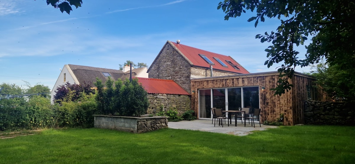 Enclosure in BarnadergEnclosure · 21 yd
 IndicatedFairy fort / stone ringfort · 399 yd
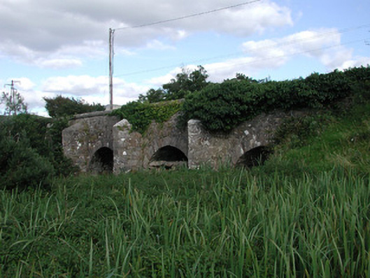 Ardnaglass Bridgebridge · 1092 yd
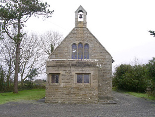 Saint Kevin's Church (Drumcliff)church/chapel · 1516 yd
 CastleCastle, unclassified · 1.2 mi
 Atlantic SheepdogsHeritage attraction · 1.6 mi
 BenbulbinMountain / peak · 1.7 mi
 BenbulbenMountain · 1.9 mi
 InishnagorIslet · 1.9 mi
 Cat CornerWood · 2.3 mi
 Benbulbin South-East TopMountain / peak · 2.5 mi
 Kennel WoodWood · 2.5 mi