
What is recorded here
Situated in grassland. Depicted as an antiquity on 1841 ed. OSi 6-inch map where it is shown as a circular shaped area enclosed by a bank. Cropmark of circular-shaped earthwork (diam. c. 23m) visible on Google Earth orthoimages.
See attached Google Earth orthophotos
Compiled by: Caimin O'Brien based on details provided by Jean-Charles Caillère
Date of upload: 17 May 2022
The monument record does not grant public access. Check the route and ask the landowner before entering private land.
- What survives
- Recorded monument
Places near here
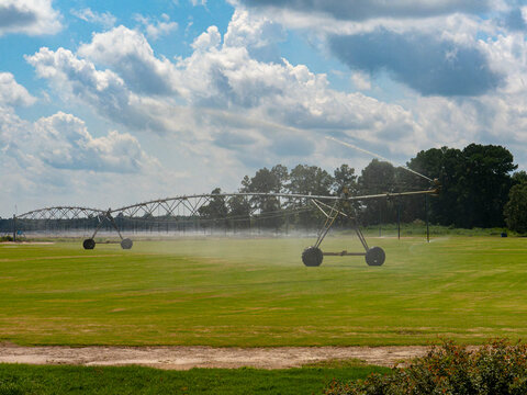 Field system in BallinpriorField system · 765 yd
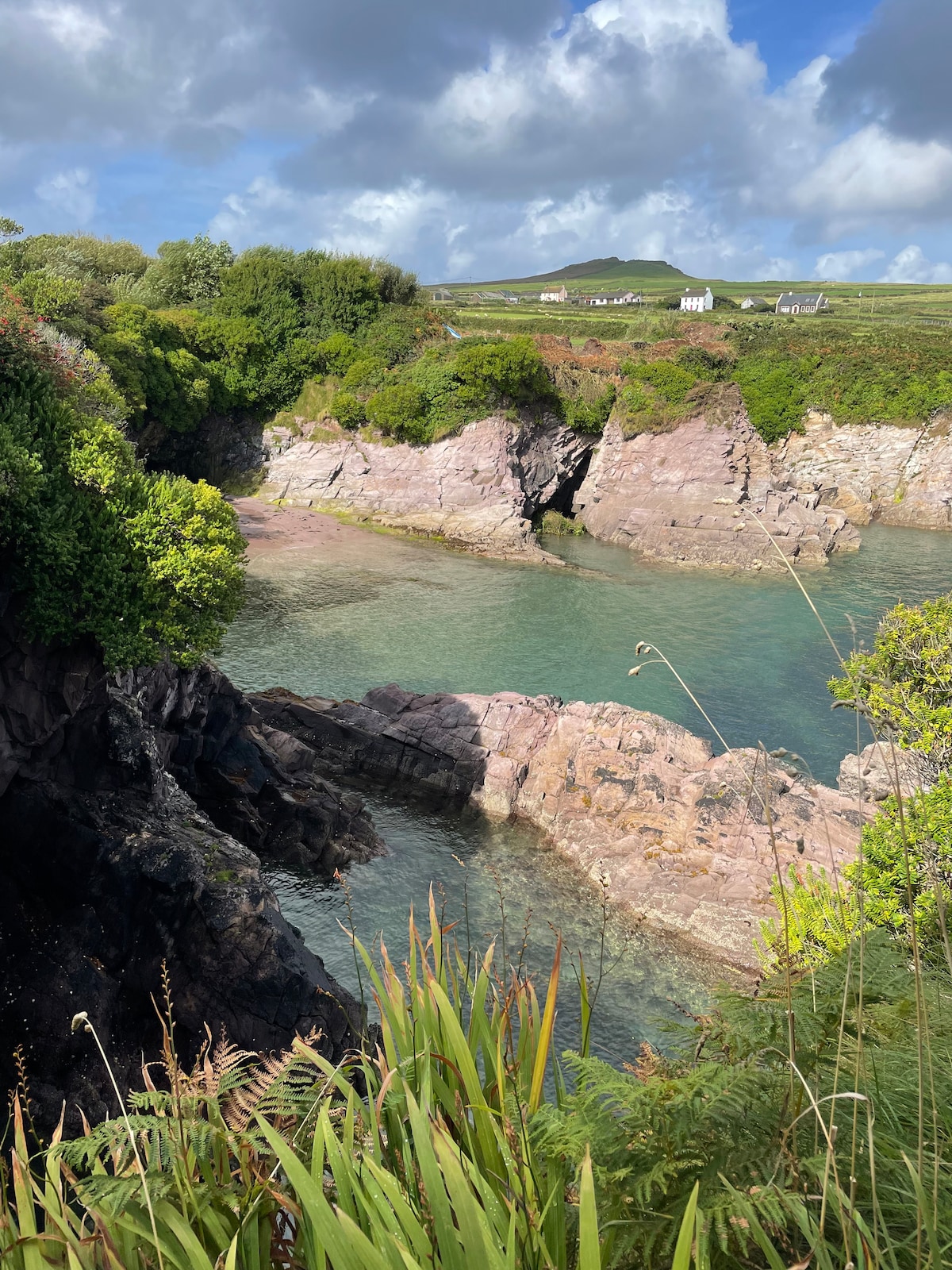 Enclosure in Banna SouthEnclosure · 973 yd
 Banna StrandBeach / strand · 1.9 mi
 Catholic Church of the Sacred Heartchurch/chapel · 2.1 mi
 CastleCastle, unclassified · 2.3 mi
 TemplenagriffinChurch · 2.5 mi
 Our Lady's Holy WellSpring · 2.5 mi
 Ardfert CathedralHeritage attraction · 2.5 mi
 15th Centenary of the birth of St-BredanMemorial · 2.5 mi
 Rathoneen Castle (remains of)Castle · 2.6 mi
 Statue of Roger CasementMemorial · 2.6 mi
 Ardfert FriaryVisitor information · 2.6 mi
Other information
Photo: Credit not shown in the picture search · Rights wording not checked; contact us if this picture should be removed