What is recorded here
In pasture on slight E facing slope, 200m S of enclosure (LI012-053----) and 264m E of the townland boundary with Faha Demesne. Partially levelled monument depicted on the 1840 OS 6-inch map as an oval shaped area (approx. diam. 43m NW-SE) defined by a scarp. Depicted on the 1897 OS 25-inch map as a sub-circular shaped area (approx. int. diam. 30m E-W; ext. 43m NW-SE) enclosed by a bank (Wth 8m), incorporated into post 1700 field boundary at SSW. A field boundary intersects the site at SSW to W and a lane intersects bank at SSW to SSE. Google Earth orthoimage taken 2019 shows partial remains of the monument still visible today, S of farmyard, as a sub-circular shaped area defined by overgrown enclosing element from N through E to S and remains of field boundary along the line of enclosing element from SSW to W. The enclosure is bisected by a driveway leading to farmyard immediately to N.
See attached Google Earth orthoimages
Compiled by: Fiona Rooney
Date of upload: 19 June 2020
The monument record does not grant public access. Check the route and ask the landowner before entering private land.
- What survives
- Recorded monument
Places near here
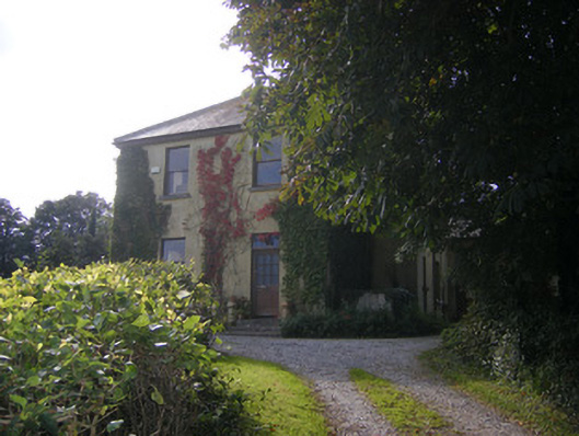 Beech Hillhouse, surgery/clinic · 495 yd
 Knockanadausa FortArchaeological place · 815 yd
 Dotted outlineFairy fort / stone ringfort · 865 yd
 Duane Villepresbytery/parochial/curate's house · 991 yd
 Castle FieldCastle, unclassified · 1.8 mi
 Meelick Ho.House, fortified house · 2.4 mi
 Sailors HaggardMemorial · 4.0 mi
 Grass IslandIslet · 6.0 mi
 Maiden RockNamed rock · 6.3 mi
 Cratloe WoodsForest · 6.7 mi
 Mellon PointHeadland · 6.9 mi
 Bunratty Castlehouse · 7.5 mi