What is recorded here
In elevated pasture on slight E facing slope, 200m N of enclosure (LI012-054----) and 300m E of the townland boundary with Faha Demesne. Curving field boundary visible from S through W to NW may incorprate the original enclosing bank, elsewhere the monument has been levelled. Depicted on both the 1840 OS 6-inch map and 1897 OS 25-inch map as a circular shaped area (approx. dims. 37m N-S) enclosed by a bank (approx. Wth 7.5m), incorporated into a field boundary from S-W to NW and a limekiln was built into SW quadrant. Visible as an overgrown upstanding enclosure on OSi aerial photograph taken 1995, no trace of monument visible on subsequent aerial images.
See attached OSi aerial photograph taken 1995 and Google Earth image taken 19/11/2019
Compiled by: Fiona Rooney
Date of upload: 19 June 2020
The monument record does not grant public access. Check the route and ask the landowner before entering private land.
- What survives
- Recorded monument
Places near here
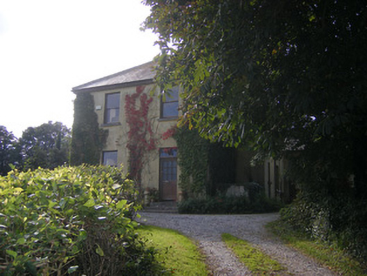 Beech Hillhouse, surgery/clinic · 603 yd
 Knockanadausa FortArchaeological place · 690 yd
 Dotted outlineFairy fort / stone ringfort · 739 yd
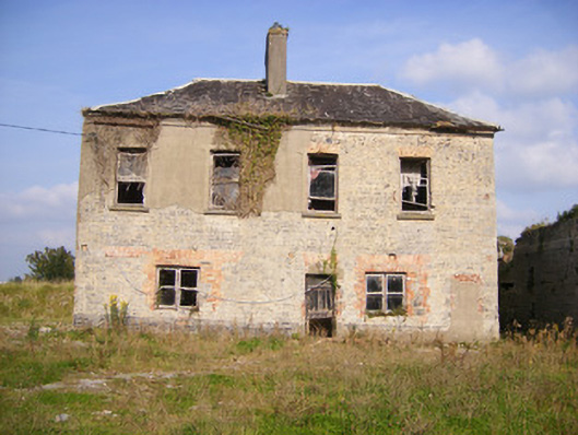 Faha Housecountry house · 1166 yd
 Castle FieldCastle, unclassified · 1.9 mi
 Meelick Ho.House, fortified house · 2.2 mi
 Sailors HaggardMemorial · 3.8 mi
 Grass IslandIslet · 5.9 mi
 Maiden RockNamed rock · 6.2 mi
 Mellon PointHeadland · 6.7 mi
 Bunratty Castlehouse · 7.3 mi
 Bunratty Castle and Folk ParkHeritage attraction · 7.3 mi