What is recorded here
Enclosure in Ballytarsna was a circular earthwork about forty metres across when first mapped in 1839, but gravel hunger had already bitten its eastern edge. The quarry later swallowed the site entirely, and a house now sits inside the western quadrant where the ditch once curved. What remains is a cropmark ghost and a mistaken excavation, proof that even forgotten shapes resist complete erasure.
Depicted as a roughly circular enclosure (dims. c. 40m N-S; c. 36m E-W) on the 1st (1839) ed. OS 6-inch map with stippling immediately NE-E of the monument indicating gravel extraction. The monument is not depicted on the 1900 revision of the OS map suggesting that it was levelled by that date. An aerial photograph (ASIAP MM (65)10; 1995) shows a curving cropmark indicating the fosse in the W-NW sector and shows a disused overgrown quarry immediately E of the enclosure and encroaching slightly into the interior of the monument. Archaeological investigations (excavation licence number 00E0557) prior to the construction of a house in 2000 mistakenly located the enclosure to the area of the quarry, suggesting it continued across the road to the E, and testing revealed ‘no diagnostic evidence for the existence of an ancient enclosure on the site of the proposed development’ (Hurley 2000, Fig.4; Hurley 2002, 171). The house is located in the W quadrant of the enclosure.
Compiled by: Jean Farrelly
Date of upload: 19 April 2021
The monument record does not grant public access. Check the route and ask the landowner before entering private land.
- What survives
- Recorded monument
Places near here
 Enclosure in DuningaEnclosure · 612 yd
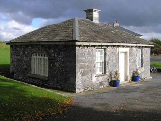 Duninga Housegate lodge · 801 yd
 Sliguff Locklock · 1093 yd
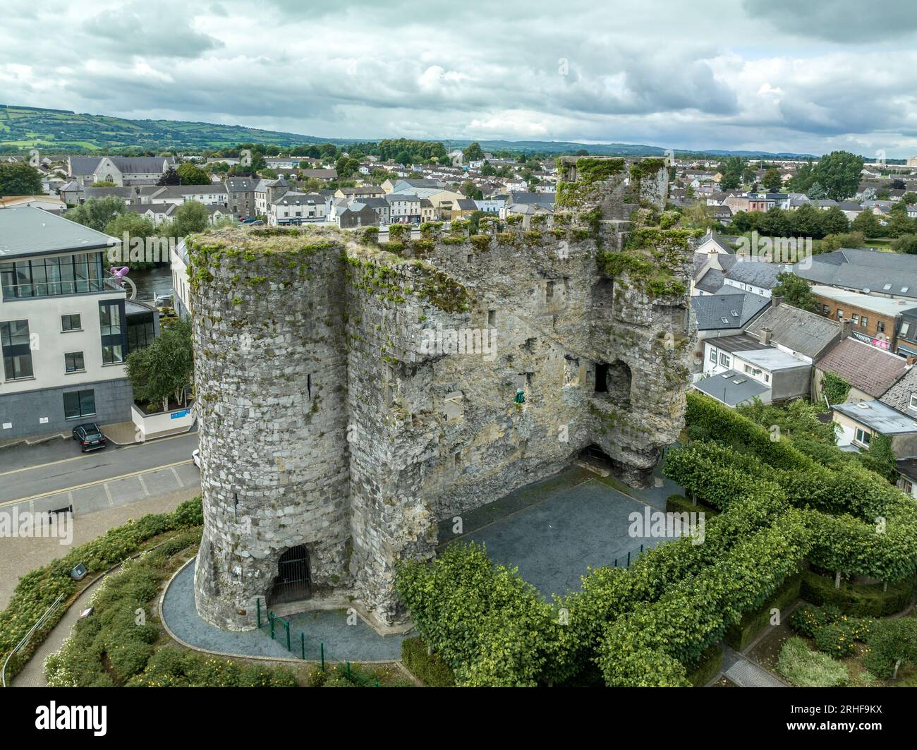 Enclosure in FenniscourtEnclosure · 1475 yd
 Church (in ruins), GraveyardChurch · 1.5 mi
 The Green GardenWood · 1.7 mi
 Lock Keeper's House and Lodge MillsVisitor information · 2.3 mi
 Site of CastleCastle, unclassified · 2.3 mi
 The Columban WayVisitor information · 2.5 mi
 Wych ElmWych Elm · 2.8 mi
 Lord Galmoys Catle (in ruins)Castle, unclassified · 3.2 mi
 Church, GraveyardChurch · 4.2 mi