What is recorded here
In pasture, in the NE corner of a large field. Depicted on the 1st ed. (1841) OS 6-inch map as a circular area (diam. c. 25m) enclosed by a bank and incorporated into the E field boundary at N and SSE. On the OS 25-inch map (1892) it is depicted as a D-shaped area (29m N-S; 26m E-W) enclosed by a bank SE-NNE and by a linear field boundary NNE-SE.
Compiled by: Matt Kelleher
Date of upload: 28 January 2014
The monument record does not grant public access. Check the route and ask the landowner before entering private land.
- What survives
- Recorded monument
Places near here
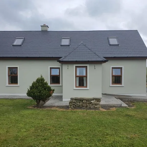 Enclosure in RathscannelEnclosure · 985 yd
 Abbeydorney Monastery (in ruins)Religious house, Cistercian monks · 1032 yd
 Man-made underground passage in BallysheenMan-made underground passage · 1091 yd
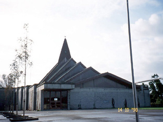 Saint Bernard's Catholic Churchchurch/chapel · 1.0 mi
 Ballymacaquinn Castle (remains of)Castle · 1.5 mi
 Kilflynn Nature ReserveNature reserve · 3.0 mi
 Tobar na MoltSpring · 3.0 mi
 CastleCastle, unclassified · 3.8 mi
 Ardfert Franciscan FriaryVisitor information · 3.9 mi
 Ardfert FriaryVisitor information · 3.9 mi
 15th Centenary of the birth of St-BredanMemorial · 4.2 mi
 Statue of Roger CasementMemorial · 4.3 mi