What is recorded here
Power (1940, 20) refers to 'almost levelled' circular enclosure (known locally as Cill Mhuilinn) c. 1 acre in area, on summit of rounded hill, in this townland. He also noted 'some trace of a second (concentric) rampart'. Exact location not known.
The above description is derived from the published 'Archaeological Inventory of County Cork. Volume 2: East and South Cork' (Dublin: Stationery Office, 1994). In certain instances the entries have been revised and updated in the light of recent research.
Date of upload/revision: 14 January 2009
The monument record does not grant public access. Check the route and ask the landowner before entering private land.
- What survives
- Recorded monument
Places near here
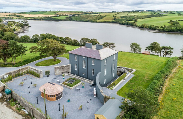 LissowenEnclosure · 745 yd
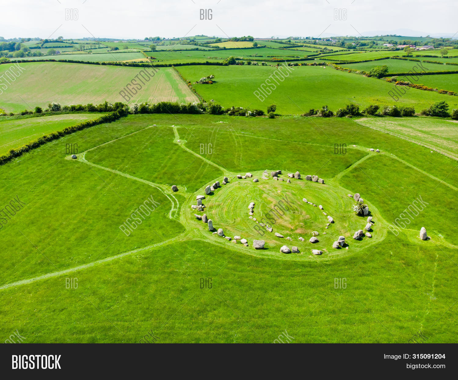 Prehistoric sitePrehistoric site, lithic scatter · 919 yd
 Ballycroneen BeachBeach / strand · 922 yd
 Ballybrannigan BeachBeach / strand · 1.1 mi
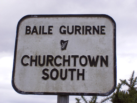 sign postsign post · 1.3 mi
 Anchor The SagaMemorial · 1.4 mi
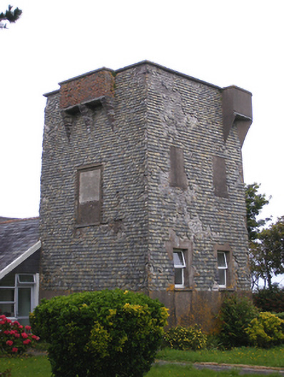 Ballmacotter Castlesignal tower · 1.6 mi
 Doonpower (in Ruins)Castle, unclassified · 3.1 mi
 RobertMemorial · 3.5 mi
 Fossil Worm TrackNamed rock · 3.5 mi
 PohutukawaPohutukawa · 3.6 mi
 Sweet ChestnutSweet Chestnut · 3.6 mi