What is recorded here
The Ordnance Survey Name Books (1838/40) under the heading of Ballyraheen townland, refer to a ‘Rath in Townland’. Only one monument has been identified in this townland, a possible enclosure (WI043-007----). The above reference may refer to this, however, it is also possible that it is referring to another monument which has not been identified and is therefore unlocated.
Compiled by: Jean Farrelly
Date of upload: 17 October 2012
The monument record does not grant public access. Check the route and ask the landowner before entering private land.
- What survives
- Recorded monument
Places near here
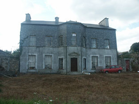 Ballyraheen Housecountry house · 174 yd
 Sweet ChestnutSweet Chestnut · 679 yd
 Tober NahanHoly well · 690 yd
 Sessile OakSessile Oak · 908 yd
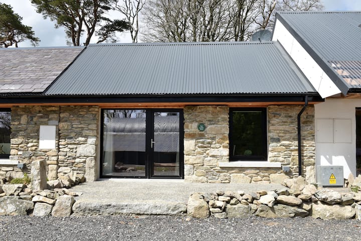 Enclosure in Newtown (shillelagh By.)Enclosure · 1381 yd
 Ballynultagh HillMountain / peak · 1.6 mi
 Coolattin Parkcountry house · 1.7 mi
 (Site of) Raymond CastleCastle, unclassified · 3.8 mi
 Clonmore MoatCastle, motte and bailey · 4.3 mi
 1798 MemorialMemorial · 4.3 mi
 Luke O'Toole MemorialMemorial · 4.4 mi
 Ballycumber HillMountain / peak · 4.6 mi