What is recorded here
On top of high ground in upland area. Semicircular area (diam 16.5m E-W; 23m N-S) enclosed by a poorly preserved earthen bank (Wth 2m; int. H 0.2m; ext. H 0.5m) with no evidence of an outer fosse or entrance feature. Modern road intersects site at W destroying enclosing bank and portion of interior. Field fence intersects site at S.
The above description is derived from the published 'Archaeological Inventory of County Offaly' (Dublin: Stationery Office, 1997). In certain instances the entries have been revised and updated in the light of recent research.
Date of upload: 23 May 2011
The monument record does not grant public access. Check the route and ask the landowner before entering private land.
- What survives
- Recorded monument
Places near here
 Enclosure in AghodyEnclosure · 119 yd
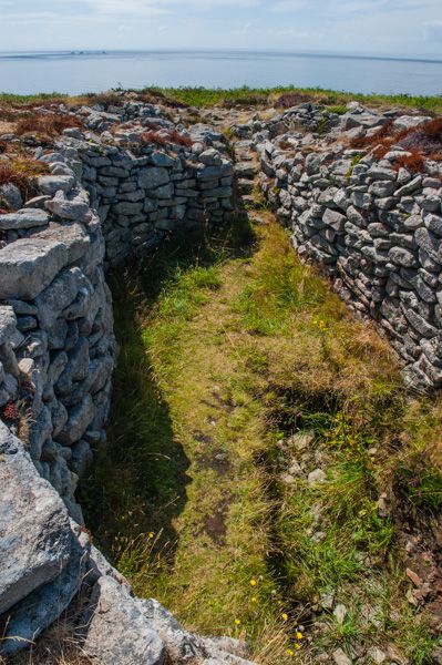 BarrowBarrow, unclassified · 310 yd
 Partially hachuredQuarry · 385 yd
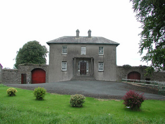 Danganreagh Housefarm house · 926 yd
 CastleCastle, ringwork · 1742 yd
 IndicatedCastle, motte · 1.1 mi
 Millennium GardenMemorial · 2.0 mi
 Golden Grove HillMountain / peak · 2.1 mi
 Golden Grove WoodWood · 2.2 mi
 Saint Kieran's WellSpring · 2.5 mi
 European ashEuropean ash · 2.6 mi
 Leap CastleCastle · 2.8 mi