What is recorded here
Situated at the bottom of a small S-facing slope in a NE-SW valley. This is a modern enclosure (diam. 20m) defined by a drystone wall (H c. 1-1.2m).
Compiled by: Mary Tunney
Date of upload: 13 June 2016
The monument record does not grant public access. Check the route and ask the landowner before entering private land.
- What survives
- Recorded monument
Places near here
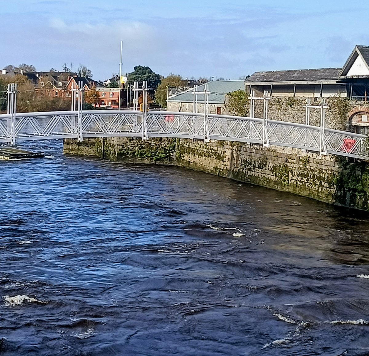 IndicatedFairy fort / stone ringfort · 490 yd
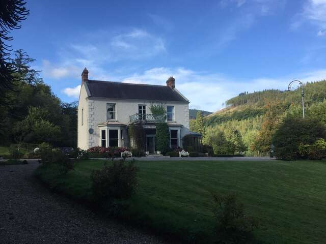 LisnavooaunFairy fort / earthen ringfort · 641 yd
 Castle (in Ruins)Castle, unclassified · 1.2 mi
 Templemore Church (in Ruins)Church · 1.5 mi
 Kiltallagh Church (in Ruins)Church · 1.6 mi
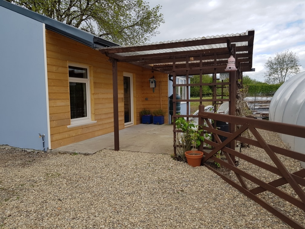 Dromore WoodWood · 1.8 mi
 Moyrhee Castle (ruins)Castle · 1.9 mi
 Battle of TullyodeaBattlefield · 2.1 mi
 Mulkere MemorialMemorial · 3.3 mi
 Ballygriffy WoodWood · 3.6 mi
 Mullagh MoreMountain / peak · 3.7 mi
 Burren National ParkVisitor information · 3.9 mi