What is recorded here
Indicated is a subcircular cashel in County Clare, Ireland, where a thick stone wall still rises through mixed scrub and exposed limestone pavement. The structure has been visible since at least 1842, when surveyors first marked its outline, and it has endured human alteration, including a later house whose east end now straddles the original wall line. Its outer face carries large limestone blocks, while parts have been rebuilt with local pavement slabs, suggesting the place continued to matter long after its first making.
In mixed scrub and exposed limestone pavement with improved pasture immediately to the E. Hachured on the first edition (1842) of the OS 6-inch map and recorded as an enclosure on the later, Cassini edition (1916). Classified as an enclosure in the RMP (1996). A subcircular cashel (33m NW-SE; 31.5m NE-SW) is defined by a stone wall (Wth 1.6m; H 1.7m) with a batter which survives from SW-NW-NE. The outer wall-face is composed of large limestone blocks (L 1m; H 0.3m). From NE-SE-SW, the wall has been levelled and rebuilt along its original course using slabs of limestone pavement (H 2m). There is a modern entrance gap at NE. The interior contains a later house (CL017-101002-) the E end of which straddles the cashel’s enclosing wall line at E.
Compiled by: Gearóid Conroy and Eve Campbell
Date of upload: 21-10-2025
The monument record does not grant public access. Check the route and ask the landowner before entering private land.
- What survives
- Recorded monument
Places near here
 IndicatedFairy fort / stone ringfort · 352 yd
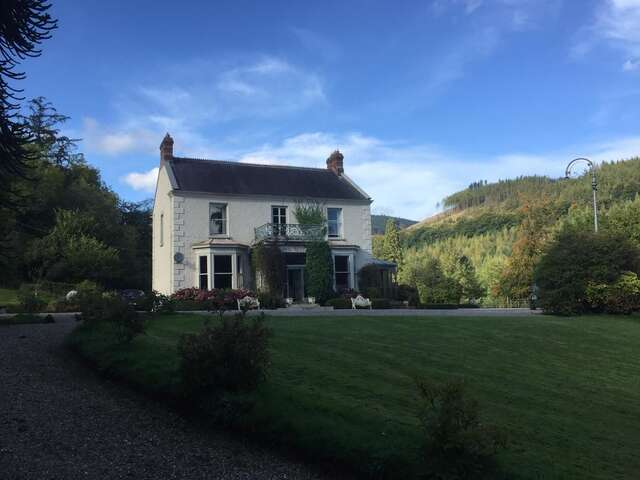 LisnavooaunFairy fort / earthen ringfort · 777 yd
 Templemore Church (in Ruins)Church · 1.2 mi
 Castle (in Ruins)Castle, unclassified · 1.4 mi
 Church in KellsChurch · 1.6 mi
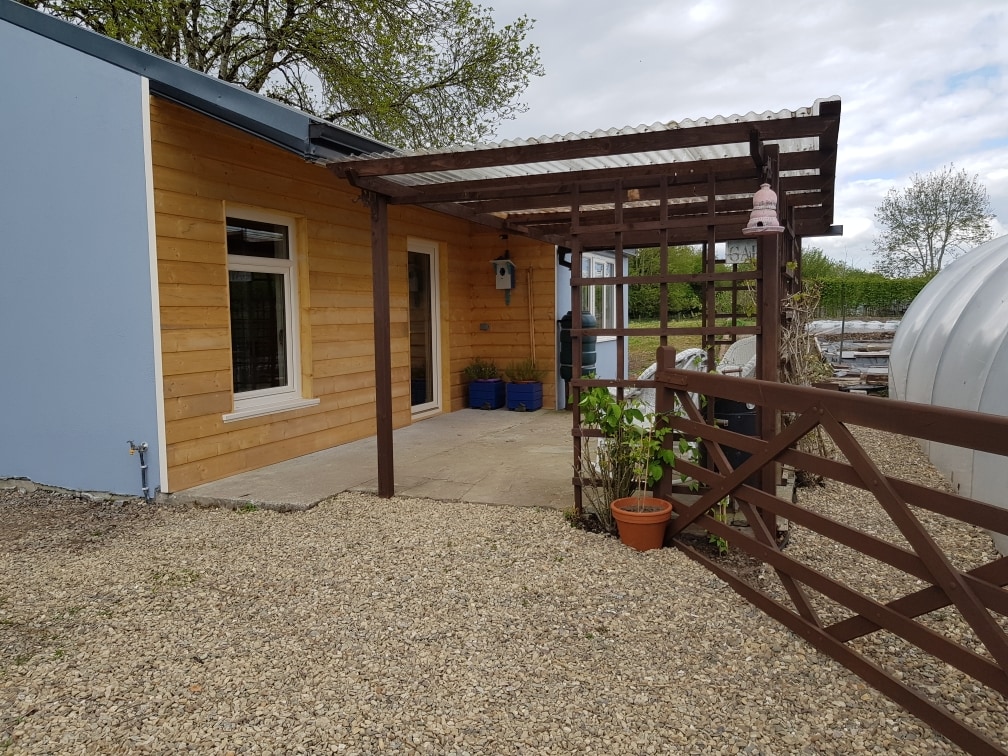 Dromore WoodWood · 2.1 mi
 Moyrhee Castle (ruins)Castle · 2.1 mi
 Battle of TullyodeaBattlefield · 2.1 mi
 Mullagh MoreMountain / peak · 3.5 mi
 Mulkere MemorialMemorial · 3.6 mi
 Burren National ParkVisitor information · 3.7 mi
 Ballygriffy WoodWood · 3.8 mi
Other information
Photo: Credit not shown in the picture search · Rights wording not checked; contact us if this picture should be removed