
What is recorded here
Thirty metres south of a house and sixty west of a stream, a forgotten circle holds its shape in reclaimed pasture. It sits between two other ancient marks on a north-west line, yet no human hand ever drew it on a map. The earth still remembers the boundary, preserving a small life that official records refused to see.
In reclaimed pasture 60m W of stream and 250m S of Ballyneety House. One of three monuments aligned on a NW-SE axis. Ringfort (LI033-039001-) to immediate NE and enclosure (LI033-104----) to immediate SW. Not depicted on any OSi 6-inch maps. Surveyed by the ASI in 2007 and described as a slightly raised circular-shaped area (diam. 14m) enclosed by a bank (Wth 5.7m; H 0.2m; ext. H 0.5m) from S-NE and reduced a scarp (Wth 1.2m; H 0.3m) elsewhere, with fosse (Wth 6.1m; D 0.2m) best preserved from NW-W and ESE-SE; outer bank (Wth 5.15m; int. H 0.2m; ext. H 0.15m) visible at NW and ESE. Monument intersected at S by field boundary running E-W and at N by drainage ditch running N-S. Outline of monument visible in centre of three earthworks on OSi orthophoto taken between 2005-12 and on Google Earth orthoimage dated 18/11/2018.
See attached Google Earth orthoimages
Compiled by: Martin Fitzpatrick
Date of upload: 30 March 2021
The monument record does not grant public access. Check the route and ask the landowner before entering private land.
- What survives
- Recorded monument
Places near here
 BarrowBarrow, ditch barrow · 175 yd
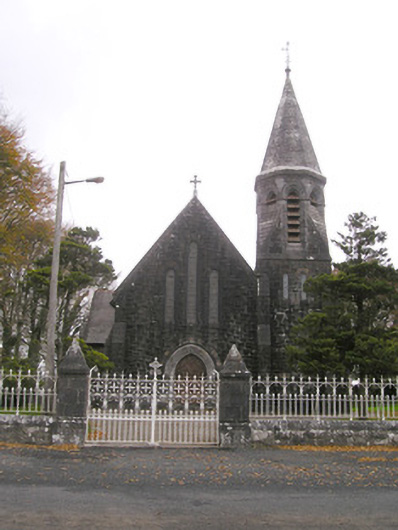 Saint Brigid's Catholic Churchchurch/chapel · 485 yd
 Site of Ballyneety CastleCastle, unclassified · 570 yd
 Grave YardGraveyard · 949 yd
 Templebredon Church (in ruins)Church · 958 yd
 RathardCastle, ringwork · 1644 yd
 St. Patrick's WellSpring · 3.2 mi
 Kilteely HillMountain / peak · 3.2 mi
 Oola HillMountain / peak · 3.4 mi
 Flat cemetery in Knockainy WestFlat cemetery · 6.1 mi
 St Patrick's WellSpring · 6.6 mi
 Ballinvreena LoopVisitor information · 9.6 mi
Other information
Photo: Credit not shown in the picture search · Rights wording not checked; contact us if this picture should be removed