What is recorded here
Enclosure in Ballynamuddagh (longford By.) is a lost circular enclosure in County Galway, Ireland. It may have been a rath or ring-barrow, but farm work and time removed its shape. What remains is a place name and a reminder that ordinary land can hold forgotten life.
In pastureland. Marked on the 1838 edition of the OS 6-inch map as a circular enclosure (diam. c. 28m); a NW-SE running trackway cut through it at NW and ESE. Aerial imagery (Google 2019) indicates that it has been levelled. It may have been a rath similar to one (see GA100-065----) c. 640m to the NW or a ring-barrow like that (GA100-108----), also c. 640m, to the E.
Compiled by: Olive Alcock
Date of upload: 17 July 2019
The monument record does not grant public access. Check the route and ask the landowner before entering private land.
- What survives
- Recorded monument
Places near here
 IndicatedHouse, 18th/19th century · 651 yd
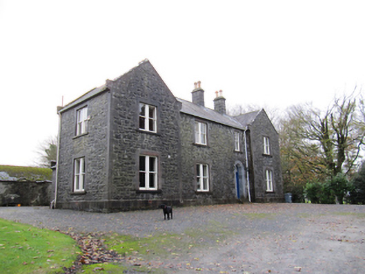 Redmount Hill Housefarm house · 653 yd
 Redmond HillMountain / peak · 1050 yd
 Enclosure in Ballymore UpperEnclosure · 1510 yd
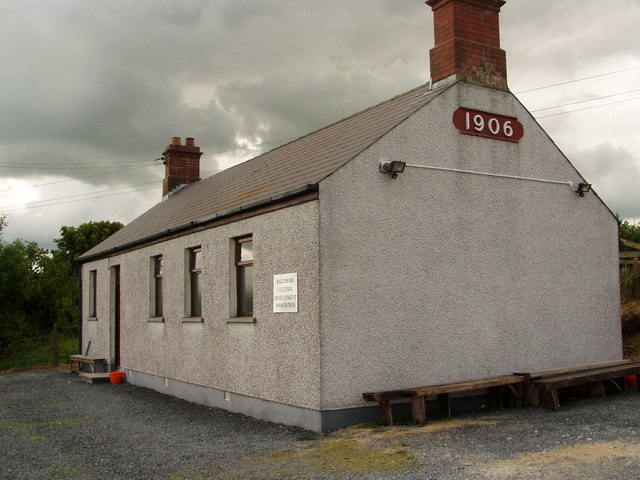 Enclosure in Ballymore LowerEnclosure · 1693 yd
 Silver FirSilver Fir · 1759 yd
 Ballymore CastleCastle, tower house · 1.0 mi
 Oghil Castle (in ruins)Castle, tower house · 2.1 mi
 European ashEuropean ash · 2.6 mi
 Clonfert CathedralHeritage attraction · 4.2 mi
 MeelickVisitor information · 4.7 mi
 Killeen's IslandIsland · 4.8 mi