
What is recorded here
On top of a low knoll in undulating farmland. Marked on OS 6-inch maps as a circular enclosure (D c. 40m). The monument has been destroyed due to the construction of a silage slab, feeding unit and milking parlour, but a curving modern field wall may overlie the original enclosing element from SE through S to SW. No visible surface trace survives of the 'Cave' (probable Man-made underground passage) (GA055-018001-) indicated on OS 6-inch maps near the centre of the monument.
The above description is derived from the published 'Archaeological Inventory of County Galway Vol. II - North Galway'. Compiled by Olive Alcock, Kathy de hÓra and Paul Gosling (Dublin: Stationery Office, 1999).
Date of upload: 05 August 2010
This remains an important historical record, but the official description says the monument is no longer visible or has been destroyed. The monument record does not grant public access. Check the route and ask the landowner before entering private land.
- What survives
- No visible remains or recorded as destroyed
Places near here
 Church in ruinsChurch · 933 yd
 LisnamonaFairy fort / ringfort · 937 yd
 CahermacanallyFairy fort / earthen ringfort · 1223 yd
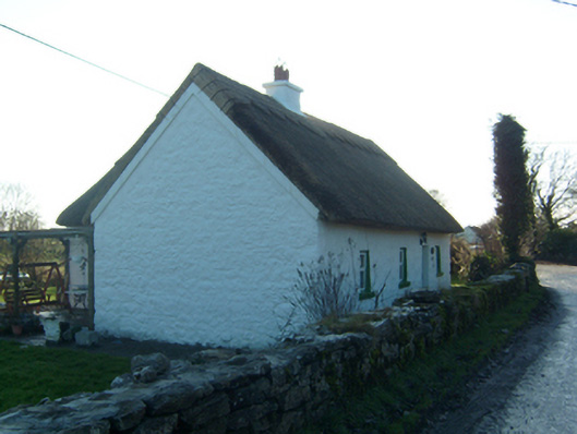 Willow Cottagehouse · 1373 yd
 BallynacreggaWood · 1.3 mi
 Castle (in ruins)Castle, hall-house · 1.5 mi
 Cloghanower Castle in ruinsCastle, tower house · 1.7 mi
 Ross Errilly FriaryHeritage attraction · 1.9 mi
 Walsh's IslandIslet · 2.4 mi
 Freeheen IslandIslet · 3.2 mi
 Kilcoona Round TowerHeritage attraction · 4.1 mi
 Ballinduff BayBay · 4.2 mi
Other information
Photo: Credit not shown in the picture search · Rights wording not checked; contact us if this picture should be removed