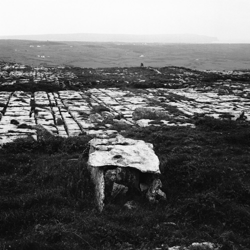
What is recorded here
On high (above 500’ contour) level, rough grazing overlooking lower, terraced slopes to W, and within an extensive field system (CL004-027001-). Visible on aerial imagery and recorded on current OS mapping. A D-shaped area (est. diam. c. 12m E-W) with a straight W side (est. L c. 15m N-S) defined by a stone wall, which may be overlain by a later field wall along W.
Compiled by: Gearóid Conroy
Date of upload: 10 October 2022
The monument record does not grant public access. Check the route and ask the landowner before entering private land.
- What survives
- Recorded monument
Places near here
 Enclosure in BallynahownEnclosure · 125 yd
 IndicatedEnclosure · 392 yd
 OughtdarraCliff · 703 yd
 Crumlin Church (in Ruins)Church · 1121 yd
 ( Poulomega ? )Cave · 1547 yd
 AilladieCliff · 1583 yd
 PollnagreeCave · 1.1 mi
 The BurrenHeritage attraction · 1.4 mi
 Ballinalacken CastleCastle · 1.8 mi
 Doolin Cave Visitor CentreHeritage attraction · 2.2 mi
 Balliny CaherRuins · 2.7 mi
 Faunarooska Castle (in ruins)Castle, tower house · 2.7 mi
Other information
Photo: Credit not shown in the picture search · Rights wording not checked; contact us if this picture should be removed