What is recorded here
On the N side of a stream valley, on a S-facing slope and immediately to the N of another similar enclosure (CO067-086----). This enclosure (c. 51m E-W; 47m N-S) was discovered and excavated in advance of the construction of the N25 Youghal Bypass in 2001 (Noonan 2003e, 29-30). Its N and E sides are defined by a U-shaped fosse (Wth 3.3m; D c. 3m) and its S side is defined by the N fosse of the adjoining enclosure. The remains of three circular structures (CO067-087001-, CO067-087002-, CO067-087003-), three corn-drying kilns (CO067-087004-, CO067-087005-, CO067-087006-) and a possible Man-made underground passage (CO067-087007-) were found within the E half of the enclosure. A radiocarbon date of 'cal. AD 620-700 (cal. BP 1320-1250)' was obtained from the lowest fill of the fosse (Noonan 2003e, 29-30). The excavator concluded that this enclosure was a 7th-century extension to the enclosure adjoining it to the S (CO067-086----) (Noonan et al. 2004, 49).
The above description is derived from 'The Archaeological Inventory of County Cork. Volume 5' (Dublin: Stationery Office, 2009).
Date of upload: 22 December 2009
The monument record does not grant public access. Check the route and ask the landowner before entering private land.
- What survives
- Recorded monument
Places near here
 KilnKiln, corn-drying · 4 yd
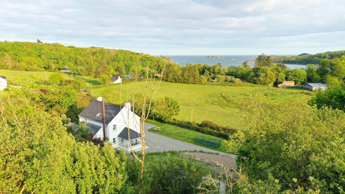 Enclosure in Ballynacarriga (imokilly By., Youghal Par.)Enclosure · 44 yd
 Heathfield TowersCountry house · 372 yd
 Youghal Foxhole Loop walkWalking route · 1.0 mi
 Collegiate Church of Saint MaryHeritage attraction · 1.3 mi
 European YewEuropean Yew · 1.3 mi
 English hollyEnglish holly · 1.3 mi
 Town WallHeritage attraction · 1.3 mi
 G YdGraveyard · 1.3 mi
 Our Lady's CollegeMemorial · 1.3 mi
 Emmet PlaceMemorial · 1.4 mi
 Priory Court Car ParkVisitor information · 1.5 mi