
What is recorded here
On a W-facing slope in high rolling pastureland. Aerial reconnaissance in November 1987 (ASGAP 376, 43, 45-6) revealed a very poorly preserved roughly circular enclosure (diam. c. 50m). It is defined by a slight rise.
Compiled by: Galway Archaeological Survey, UCG
Date of upload: 14 February 2019
The monument record does not grant public access. Check the route and ask the landowner before entering private land.
- What survives
- Recorded monument
Places near here
 Silver FirSilver Fir · 814 yd
 Ballymore CastleCastle, tower house · 830 yd
 TobermurryHoly well · 1101 yd
 IndicatedEcclesiastical enclosure · 1279 yd
 R.C. ChapelChurch · 1588 yd
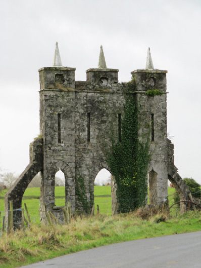 Belviewfolly · 1603 yd
 Redmond HillMountain / peak · 1.4 mi
 Oghil Castle (in ruins)Castle, tower house · 1.9 mi
 European BeechEuropean Beech · 3.3 mi
 Clonfert CathedralHeritage attraction · 5.1 mi
 Killeen's IslandIsland · 5.3 mi
 MeelickVisitor information · 5.3 mi
Other information
Photo: Credit not shown in the picture search · Rights wording not checked; contact us if this picture should be removed