What is recorded here
This site is marked on the first edition of the OS map as a circular enclosure. It was located on sloping pastureland on Valencia Island, which commands a fine view along the length of the Portmagee Channel. No surface trace of the site survives and it is not remembered locally.
The above description is derived from A. O'Sullivan and J. Sheehan (compilers), 'The Iveragh peninsula: an archaeological survey of South Kerry'. Cork University Press (1996), no. 783. In certain instances the entries have been revised and updated in the light of recent research.
Date of upload: 29 July 2013
The monument record does not grant public access. Check the route and ask the landowner before entering private land.
- What survives
- Recorded monument
Places near here
 ToberreendoneyHoly well · 98 yd
 Tober-Naom-LeigionHoly well · 314 yd
 Kilbeg MountainMountain / peak · 788 yd
 Kilmore Church (in ruins)Church · 1138 yd
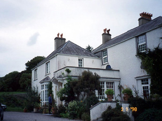 Glanleam Housemill (water) · 1234 yd
 Chilean myrtleChilean myrtle · 1358 yd
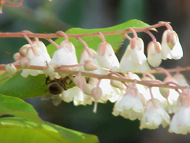 Lily-of-the-valley treeLily-of-the-valley tree · 1400 yd
 The GrottoCave · 1.3 mi
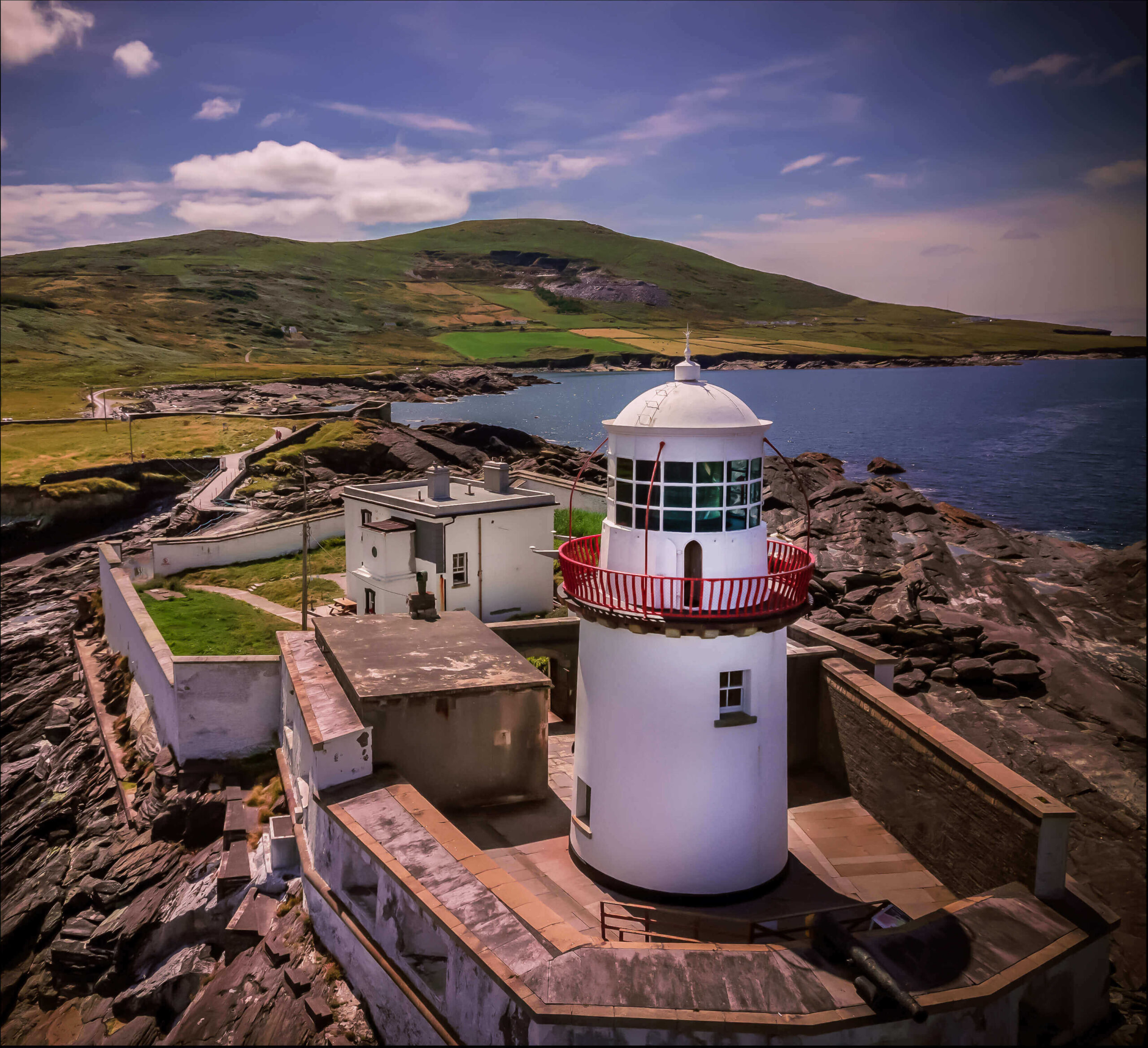 Valentia Island LighthouseMuseum · 1.4 mi
 Cromwell PointHeadland · 1.4 mi
 GeokaunMountain / peak · 1.5 mi
 Beginish IslandIsland · 1.7 mi