What is recorded here
Aerial photograph (CASAP) shows circular marking in field (diam. c. 30m). Second circular feature (CO066-04201-) c. 60m to SW. Sites possibly natural features similar to relict pond (1934 OS 6-inch map) also showing in same field to S.
The above description is derived from the published 'Archaeological Inventory of County Cork. Volume 2: East and South Cork' (Dublin: Stationery Office, 1994). In certain instances the entries have been revised and updated in the light of recent research.
Date of upload/revision: 14 January 2009
The monument record does not grant public access. Check the route and ask the landowner before entering private land.
- What survives
- Recorded monument
Places near here
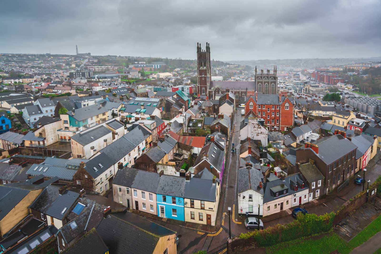 Burnt spread in LagileBurnt spread · 961 yd
 Catholic Church of Saint John the Baptistchurch/chapel · 1054 yd
 Farrells WellHoly well · 1066 yd
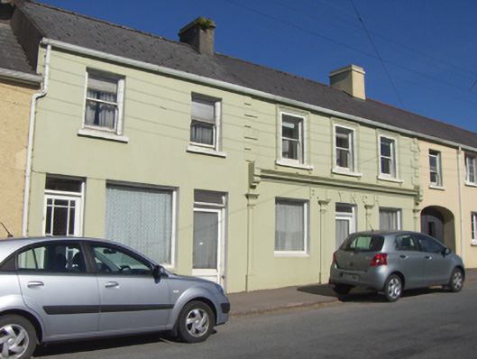 P. Lynchhouse · 1116 yd
 Historical Graveyard InformationVisitor information · 1301 yd
 Fainin's WellSpring · 1.3 mi
 Castle (in Ruins)Castle, unclassified · 1.4 mi
 Inchiquin Castle (in Ruins)Castle, Anglo-Norman masonry castle · 1.7 mi
 Glenbower WoodForest · 1.9 mi
 Glebe IslandIslet · 3.5 mi
 William Heffernan MemorialMemorial · 3.7 mi
 Mitchell's WoodWood · 4.0 mi