What is recorded here
Ballymacthomas holds a sub-circular enclosure where a steep river scarp replaced the western bank, saving labour but trusting the water’s edge to keep intruders out. The remaining stone and earth wall still rises forty centimetres externally, while the marshy interior preserves the dampness that shaped the field before pasture. Cattle may have grazed around it, people may have forgotten it, and the river may have taken the rest, yet the enclosure still uses the landscape as much as the landscape contains it.
'Situated in a field on the immediate eastern side of a tributary of the River Lee. The portion of land on which these sites occur slopes gently westwards. The main features within the complex are earthen enclosures, small mounds, a linear earthwork and a possible barrow with portions of double banks remaining. All of these sites are partially denuded due to reclaimation, this field still being slightly marshy despite efforts to reclaim the land for the purposes of pasture.............a similar enclosure [to KE038-147----], again sub-circular in shape is situated near the river. In this case there does not seem to have been a complete enclosure, as the steep scarp nearest the river was utilised as the westernmost enclosing element of the enclosure. Total dimensions N-S are 35.0m by 20.0m E-W. The stone and earth bank has an average width of 6.00m, is 0.40m high externally and has an internal height of 0.70m. The interior is featureless and slightly marshy.'
Compiled by Michael Connolly for the Archaeological Survey of Ireland as part of a survey of the Lee Valley area in 1996-97.
Date of upload: 2 May 2012
The monument record does not grant public access. Check the route and ask the landowner before entering private land.
- What survives
- Recorded monument
Places near here
 Hut site in BallymacthomasHut site · 230 yd
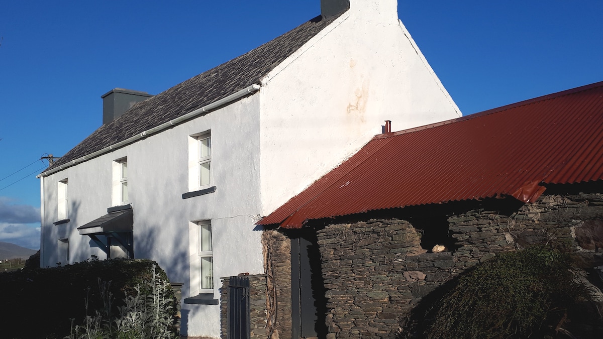 Enclosure in BallymacthomasEnclosure · 309 yd
 IndicatedCastle, unclassified · 315 yd
 Common AlderCommon Alder · 864 yd
 Ballyseede Castlegates/railings/walls · 981 yd
 Ballyseedy Church (in ruins)Church · 1156 yd
 Ballyseede Castle HotelCastle · 1301 yd
 Monument WoodWood · 1660 yd
 PoulatouirtCave · 1.3 mi
 Poulclashcannon (blocked)Cave · 1.5 mi
 Civil War MemorialMemorial · 2.8 mi
 Crimea Cannon and War MemorialMonument · 3.3 mi