What is recorded here
In improved undulating pasture, on low rise with good views in all directions. No visible surface trace. Ground surface very undulating in this area of rise, particularly on SW-side of field boundary. Depicted on 2nd (1952-4) ed. OS 6-inch map as a sub-oval area open to W and truncated by field boundary (long-axis NW-SE) across SW-sector. A sketch plan and sections drawn in 1954 show the monument as depicted on the 6-inch map (overall diam. 363ft [110m] N-S; 172ft [52.4m E-W]) with an enclosing bank which was surmounted by a field boundary (OS Field Memorandums).
Compiled by: Jean Farrelly
Date of upload: 26 August 2011
The monument record does not grant public access. Check the route and ask the landowner before entering private land.
- What survives
- Recorded monument
Places near here
 Ballyknock HillMountain / peak · 1044 yd
 Burnt spread in GortmakellisBurnt spread · 1110 yd
 Enclosure in BallyknockEnclosure · 1196 yd
 Gortmakellis CastleCastle · 1348 yd
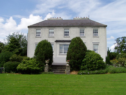 Dually Househouse · 1.1 mi
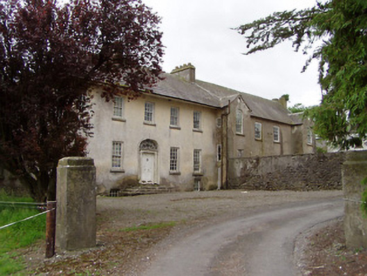 Meldrum Housecountry house · 1.2 mi
 Meldrum Castle (ruins)Castle · 1.4 mi
 The Rock Of CashelVisitor information · 1.8 mi
 Cormac's ChapelHeritage attraction · 1.8 mi
 Rock of CashelHeritage attraction · 1.8 mi
 Black mulberryBlack mulberry · 1.8 mi
 Dundrum Woods (Marl Bog)Forest · 8.8 mi