What is recorded here
In a tillage field. Complex identified on aerial photograph (ASIAP(32) 11-20, 3.8.96). The most circular feature, to the NW, is a natural hill surmounted on top by a pillar-stone which has been carved as a memorial to Daniel O'Connell, the leader of Catholic Emancipation. Other features which show up on the aerial photograph, including a large circular cropmark with an ancilary cropmark, lies in fairly flat terrain, sloping very gently to N. These features are not visible at ground level.
Compiled by: Jean Farrelly
Date of upload: 26 August 2011
The monument record does not grant public access. Check the route and ask the landowner before entering private land.
- What survives
- Recorded monument
Places near here
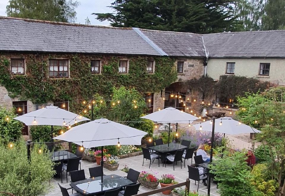 Ballymacadam Ch. (in ruins)Church · 1204 yd
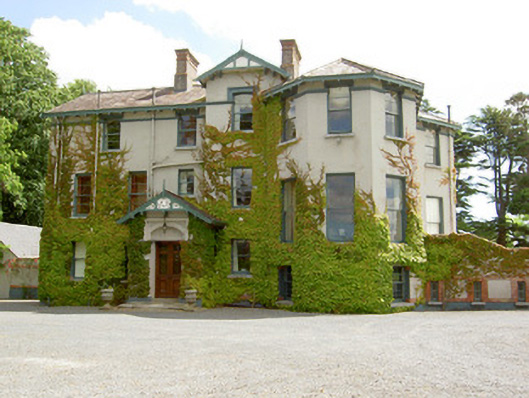 Duneske Housecountry house · 1264 yd
 Castle (in ruins)Castle, unclassified · 1340 yd
 Enclosure in LissakyleEnclosure · 1737 yd
 European YewEuropean Yew · 1.1 mi
 Cahir CastleHeritage attraction · 1.1 mi
 Cottagehill WoodForest · 1.1 mi
 Loughlohery Beating ChurchCastle · 1.2 miSiege of Cahir Castlesiege · 1.2 mi
 Ladys WellHoly well · 1.3 mi
 Caher AbbeyHeritage attraction · 1.3 mi
 Woodcock HillMountain / peak · 2.8 mi