What is recorded here
On the SW-facing slope in gently rolling pastureland. There is a pond in the field immediately SW of the enclosure. This rectangular enclosure (diam. 35.5m N-S; 45.2m E-W) is defined by an substantial earthen bank with a lot of stone protruding (Wth 2.2m crest, 5.5m base; int. H 0.73m; ext. H 1.18m). The monument slopes gently to the SW with a natural decline. The N side has been quite badly truncated along its external face. The S side is much denuded with a field boundary consisting of scrub growing up against the low remains of the bank. There is no definite entrance feature, though there is a gap in the bank on the E side (Wth 1.7m) with the bank reducing towards the entrance. The interior is undulating, more raised towards the centre on the N side. The field boundary immediately (3m) W of the enclosure deliberately kinks out to avoid it.
Compiled by: Jean Farrelly
Date of upload: 07 January 2013
The monument record does not grant public access. Check the route and ask the landowner before entering private land.
- What survives
- Recorded monument
Places near here
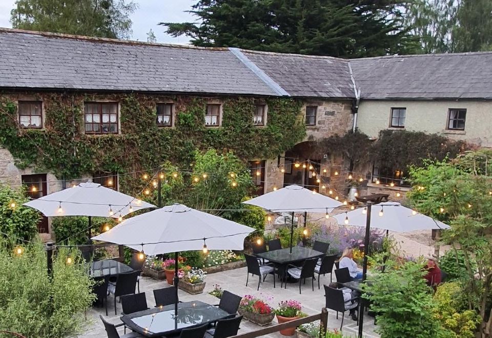 Ballymacadam Ch. (in ruins)Church · 841 yd
 Castle (in ruins)Castle, unclassified · 1026 yd
 Enclosure in LissakyleEnclosure · 1373 yd
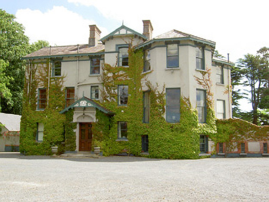 Duneske Housecountry house · 1656 yd
 European YewEuropean Yew · 1726 yd
 Cottagehill WoodForest · 1727 yd
 LissawanFairy fort / earthen ringfort · 1.1 mi
 Loughlohery Beating ChurchCastle · 1.2 mi
 Cahir CastleHeritage attraction · 1.4 miSiege of Cahir Castlesiege · 1.5 mi
 Caher AbbeyHeritage attraction · 1.6 mi
 Woodcock HillMountain / peak · 2.4 mi