
What is recorded here
Situated on an E-facing slope in tillage. A subrectangular enclosure (c. 65m NW-SE; c. 42m NE-SW) defined NW-SE by a scarp or low bank. An overgrown field boundary delimits the site SE-NW. The scarp is visible on a Google Earth satellite image date 3 November 2014 and although tilled the outline is visible on and Apple Maps satellite image viewed on 8 July 2020.
The following images are attached:
CL037-022----_01.jpg Google Earth image (taken 3 November 2014)
CL037-022----_02.jpg Apple Maps image (viewed 8 July 2020)
Compiled by: Mary Tunney
Date of upload: 8 July 2020
A local fairy fort (ringfort/rath); wider significance not recorded.
The monument record does not grant public access. Check the route and ask the landowner before entering private land.
- What survives
- Recorded monument
Places near here
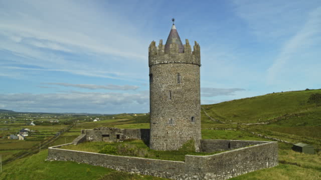 Enclosure in BallybroghanEnclosure · 338 yd
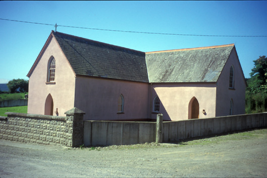 Saint Mary's Catholic Churchchurch/chapel · 1128 yd
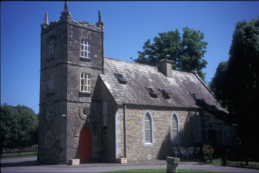 church/chapelchurch/chapel · 1.3 mi
 Enclosure in BallybranEnclosure · 1.4 mi
 European ashEuropean ash · 1.4 mi
 Rinnaman PointHeadland · 2.2 mi
 RockHeritage attraction · 2.4 mi
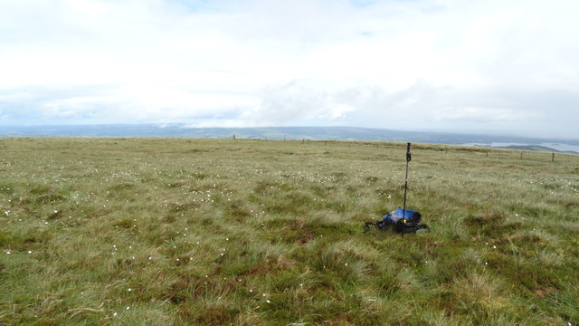 MoylussaMountain / peak · 2.4 mi
 Bawn in Caher (tulla Lower By.)Bawn · 2.4 mi
 Castle BaunCastle · 2.5 mi
 Ratheen WoodsWood · 2.6 mi
 Crow IslandIslet · 3.0 mi
Other information
Photo: Credit not shown in the picture search · Rights wording not checked; contact us if this picture should be removed