What is recorded here
Situated on a gentle E-facing slope in a low-lying landscape. The cropmark of a circular area (diam. c. 30m) defined by a single feature is visible on aerial photographs (ASIAP (264) 15, 16).
Compiled by: Michael Moore
Date of upload: 08 February 2011
The monument record does not grant public access. Check the route and ask the landowner before entering private land.
- What survives
- Recorded monument
Places near here
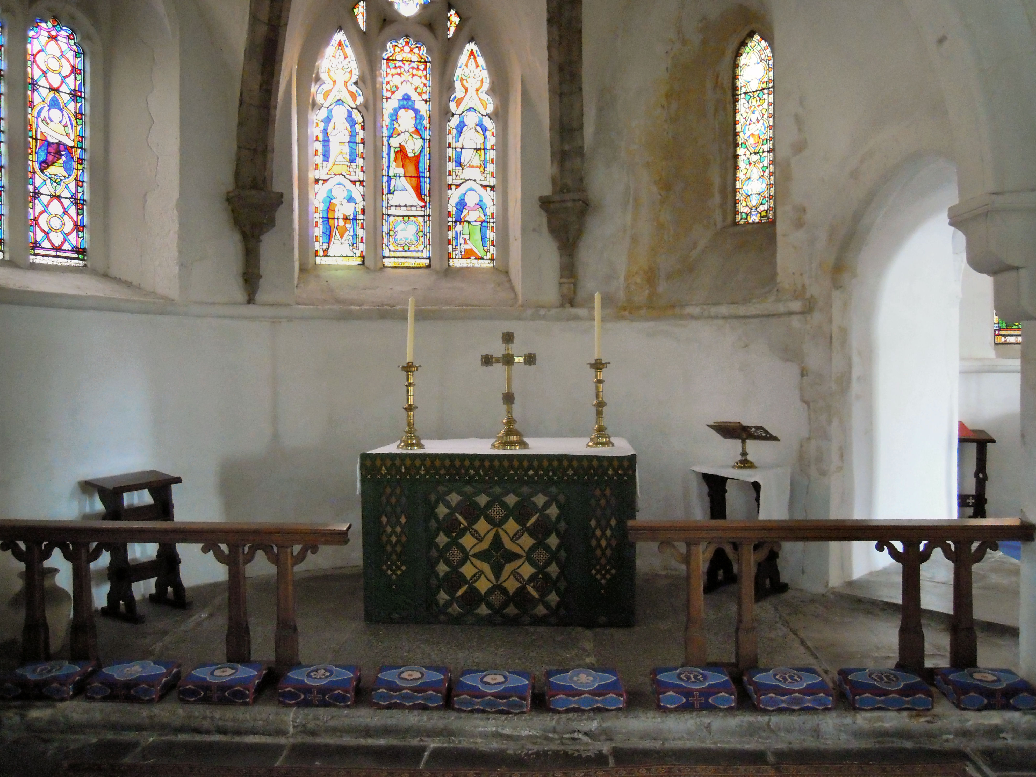 St. Marys Chapel (in ruins)Church · 670 yd
 CaveMan-made underground passage · 682 yd
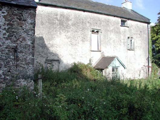 Ballygunner Castlehouse · 689 yd
 Enclosure in BallyvoreenEnclosure · 1119 yd
 Castle (in ruins)Castle, tower house · 1703 yd
 Ballinakill WoodsWood · 1.3 mi
 The Baldy ManViewpoint · 5.4 mi
 Tramore Dunes WalkWalking route · 5.8 mi
 Tramore Tourist OfficeVisitor information · 6.1 mi
 Cannon GunBattlefield · 6.5 mi
 Doneraile WalkWalking route · 6.6 mi