What is recorded here
In pasture, immediately W of townland boundary with Ballygrennan and 850m NE of Greenpark House. Within the field system (LI040-042----). Not depicted on OSi historic maps. Identified as a square-shaped enclosure during examination of aerial photographs (BGE 1/5000 2540) taken 03/11/1984 on the Bórd Gáis Éireann gas pipeline. Visible as a rectangular-shaped area (dims. c. 21m N-S; 23m E-W) on Digital Globe orthoimage taken between 2011-13 where it is defined at S, W, and N by linear depression, intersected at E by field boundary running N-S. Visible on Google Earth orthoimage dated 20/03/2018. Linear features visible on aerial photographs may represent drainage channels belonging to reclamation works associated with the landscaping of the lands of Greenpark House. No surface remains visible on
Google Earth orthoimage dated 14/09/2019.
See attached aerial photograph from Bórd Gáis Éireann gas pipeline and Google Earth orthoimages.
Compiled by: Martin Fitzpatrick
Date of upload: 13 May 2021
The monument record does not grant public access. Check the route and ask the landowner before entering private land.
- What survives
- Recorded monument
Places near here
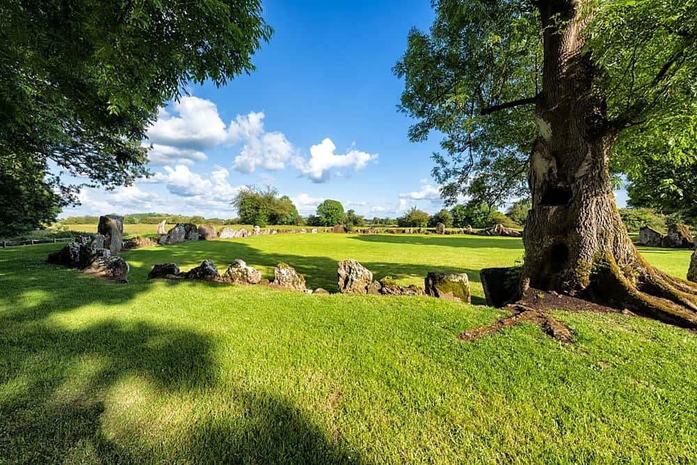 Cultivation ridges in Ballygrennan (coshma By., Bruff Ed)Cultivation ridges · 409 yd
 Site of Uregare ChurchChurch · 482 yd
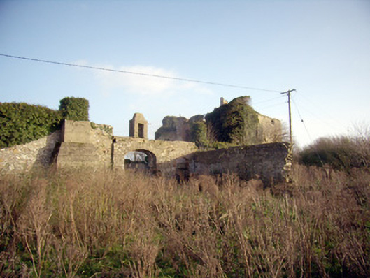 Greenpark Housecountry house · 977 yd
 Ballygrennan Castle (in ruins)Castle, tower house · 1059 yd
 post boxpost box · 1349 yd
 Castle (in ruins)Castle, unclassified · 1.1 mi
 KnockainyMountain / peak · 3.3 mi
 Flat cemetery in Knockainy WestFlat cemetery · 3.9 mi
 St Patrick's WellSpring · 6.2 mi
 Monasteranenagh AbbeyHeritage attraction · 6.3 mi
 Edmund's WellSpring · 6.5 mi
 Ballinvreena LoopVisitor information · 6.5 mi