What is recorded here
In rough pasture, on an E-facing slope with rocky scarp to N. Good views NW-E-SW. Totally overgrown with briars, nettles and trees, except S half of outer enclosing elements. Roughly D-shaped area (diam. c. 30m) defined by inner bank (Wth 5.5m; int. H 0.5m; ext. H 1.5m) of earth and stone E-S-W. Stone faced break at SW. Rocky scarp (H c. 6-8m) defines N side. Intervening fosse (Wth 2m at base; D 0.5m) E-S-W. External bank (Wth 3m; int. H 0.75m; ext. H 0.25m) E-S-W of earth and stone is incorporated into field boundary E-S-SW; stone facing on interior. According to local information, monument used as a quarry about one hundred years ago.
Compiled by: Jean Farrelly
Date of upload: 26 August 2011
The monument record does not grant public access. Check the route and ask the landowner before entering private land.
- What survives
- Recorded monument
Places near here
 Fulacht fia in DromlineFulacht fia · 591 yd
 IndicatedHilltop enclosure · 888 yd
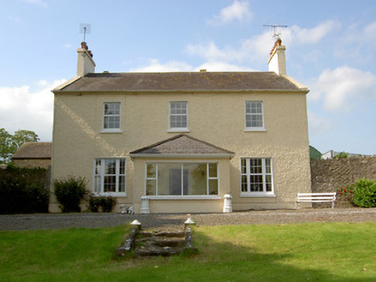 Knockballynoe Househouse · 1181 yd
 Church (in ruins)Church · 1356 yd
 Dromline CastleCastle · 1734 yd
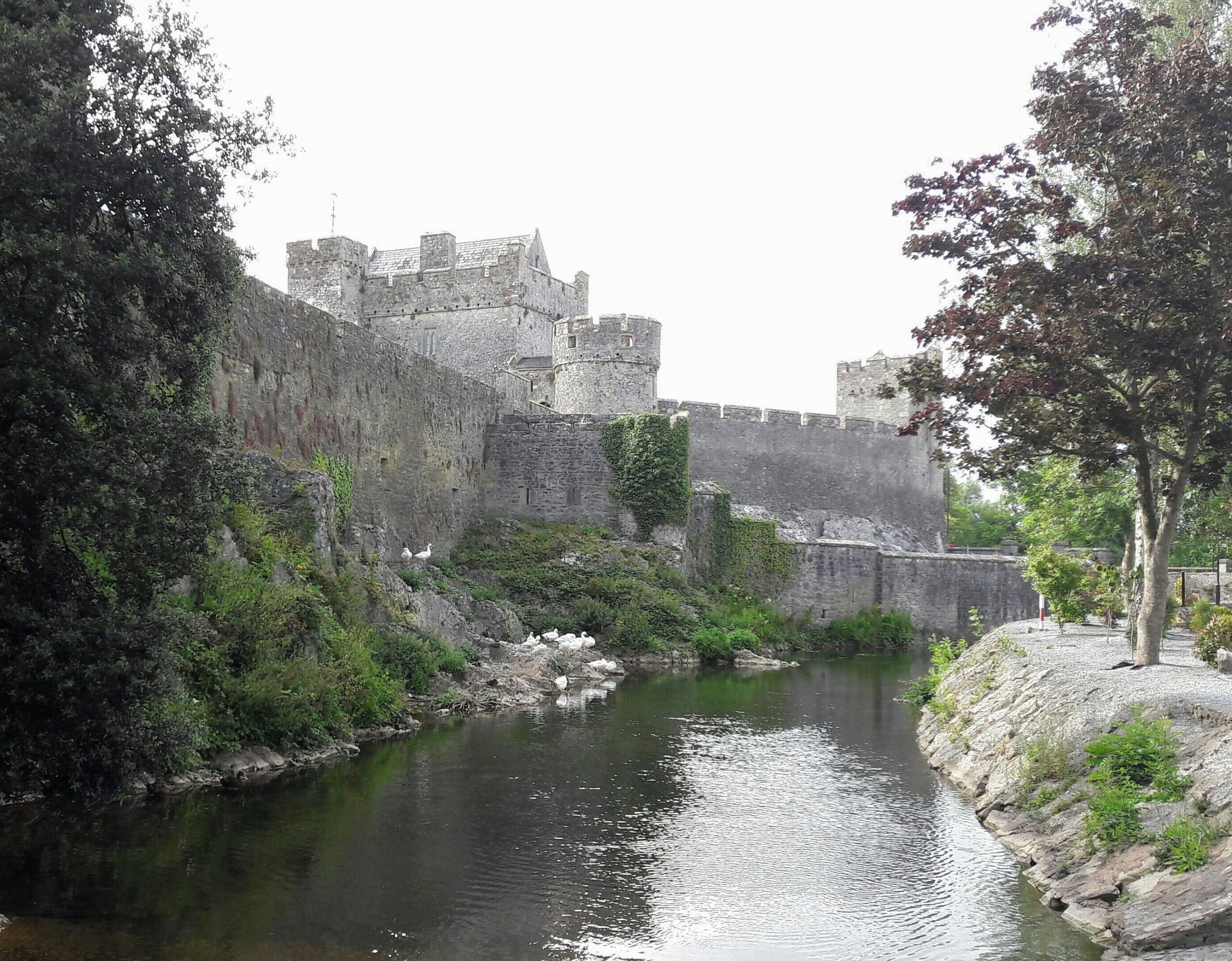 Ballymacady CastleCastle · 1.2 mi
 European ashEuropean ash · 1.7 mi
 Bansha ForestForest · 2.6 mi
 I.R.A. 3rd. Tipperary Brigade MemorialMemorial · 3.3 mi
 It's a long way to TippereryHeritage attraction · 3.9 mi
 The Maid of ErinMemorial · 4.1 mi
 The RockViewpoint · 4.3 mi