What is recorded here
This site was located on flat land which bordered marshy land. The site has good views in all directions. There was no surface evidence of the site in the area marked on the OS 6-inch map. The site however showed up as a cropmark on the GSI aerial photographs of the area (GSI N 586/7; 486/5).
The above description is derived from the published 'Archaeological Inventory of County Offaly' (Dublin: Stationery Office, 1997). In certain instances the entries have been revised and updated in the light of recent research.
Compiled by Caimin O'Brien
Date of upload/revision: 19 December 2011
The monument record does not grant public access. Check the route and ask the landowner before entering private land.
- What survives
- Recorded monument
Places near here
 Enclosure in BallyforeEnclosure · 328 yd
 Settlement desertedSettlement deserted, medieval · 1305 yd
 Croghan HillMountain / peak · 1.6 mi
 Derrygreenagh HillMountain / peak · 1.7 mi
 Church (in Ruins) Grave Yd.Church · 1.8 mi
 OConor Falys or Croghan Castle (in ruins)House, fortified house · 1.9 mi
 Finnrenashark Holy WellSpring · 1.9 mi
 Croghan Hill WalkVisitor information · 2.0 mi
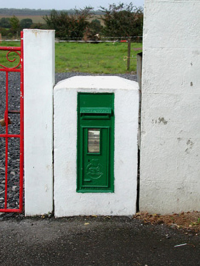 post boxpost box · 2.0 mi
 Knockdrin HillMountain / peak · 2.2 mi
 Site of Lady Mary Warrens CastleCastle, unclassified · 2.8 mi
 Holy PlantationForest · 3.3 mi