What is recorded here
Reported by Tom Fox, Teagasc, and inspected on 15th April 2011. Consists of curving bank (c. 50m N-S; c. 35m E-W), with very low profile though clearly evident, on east side of a field boundary that is also a townland boundary; no evident trace of enclosure on west side of boundary. The enclosure is crossed by an east-west field boundary in its northern third. The area is under pasture.
See attached Google Earth orthoimages.
The monument record does not grant public access. Check the route and ask the landowner before entering private land.
- What survives
- Recorded monument
Places near here
 Enclosure in Ballyshane (coshlea By.)Enclosure · 821 yd
 Infants Burial Ground (Disused)Children's burial ground · 1221 yd
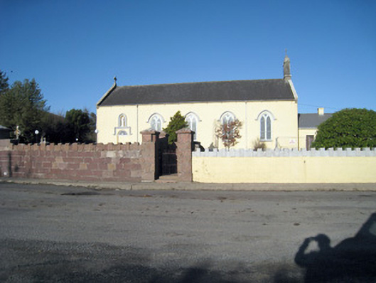 Catholic Church of Our Lady of Ransomchurch/chapel · 1.1 mi
 presbytery/parochial/curate's housepresbytery/parochial/curate's house · 1.1 mi
 Site of CastleCastle, unclassified · 1.9 mi
 Ballyhoura WayWalking route · 2.8 mi
 Kilclooney WoodWood · 3.0 mi
 Palatine's RockNamed rock · 3.2 mi
 CarrigeenamronetyMountain / peak · 3.2 mi
 Site of Castle, Castle FieldCastle, unclassified · 3.2 mi
 Ballyarthur HillMountain / peak · 3.4 mi
 Ballinvreena LoopVisitor information · 4.8 mi
Other information
Photo: Credit not shown in the picture search · Rights wording not checked; contact us if this picture should be removed