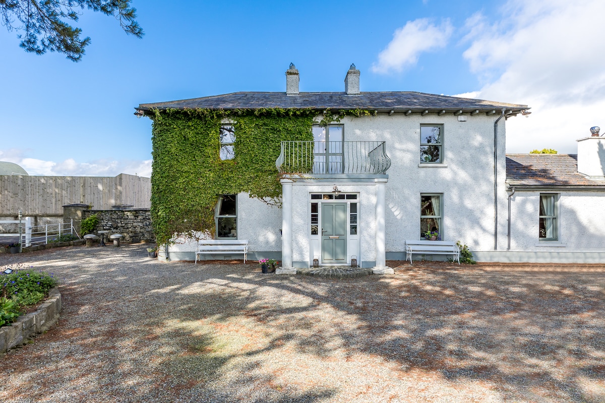
What is recorded here
Situated in improved pasture on the S slopes of Three Rock Mountain. An enclosure marked as circular in plan with a gap in the E on the 1843 OS 6-inch map. (int. diam. c. 17m). According to Healy (1975, 1-19) it had been removed since.
Compiled by: Geraldine Stout and Padraig Clancy
Revised upload on: 8 July 2018
The monument record does not grant public access. Check the route and ask the landowner before entering private land.
- What survives
- Recorded monument
Places near here
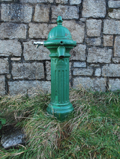 water pumpwater pump · 216 yd
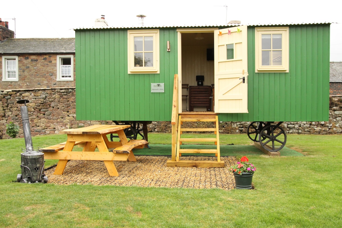 Hut site in BallyedmonduffHut site · 420 yd
 Ballyedmonduff ForestForest · 734 yd
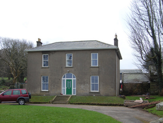 Newtown Housefarm house · 1014 yd
 Three Rock MountainMountain / peak · 1148 yd
 Kiltiernan Portal TombArchaeological place · 1286 yd
 Two Rock MountainMountain / peak · 1486 yd
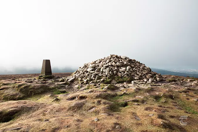 Ticknock - Fairy Castle LoopWalking route · 1.1 mi
 Native WoodlandWood · 1.2 mi
 Dublin Mountains WayWalking route · 1.2 mi
 Calbeck CastleRuins · 1.6 mi
 Dublin Mountain Way informationVisitor information · 1.8 mi
Other information
Photo: Credit not shown in the picture search · Rights wording not checked; contact us if this picture should be removed