What is recorded here
In tillage. A circular enclosure (diam. c. 60m), defined by a fosse which is visible as a cropmark on satellite imagery (Apple Maps), identified and reported by Jean-Charles Caillère.
See attached imagery:
WA020-032----_01 Apple Maps satellite imagery
Compiled by: Jean Farrelly
Date of upload: 3 July 2023
The monument record does not grant public access. Check the route and ask the landowner before entering private land.
- What survives
- Recorded monument
Places near here
 Stone Altar (Site of)Altar · 735 yd
 Tobar MocudaHoly well · 751 yd
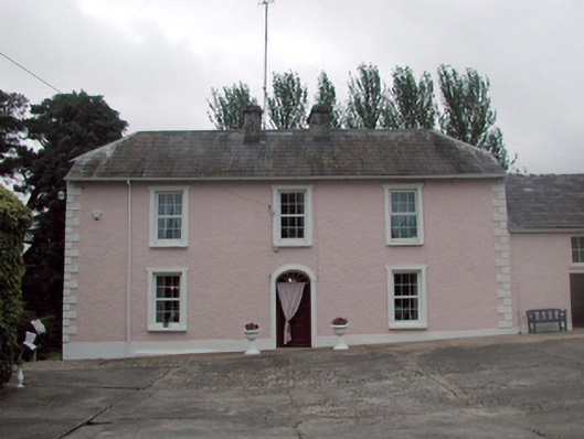 Castle Farmfarm house · 1114 yd
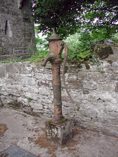 Ballyduff Garda Síochána Stationwater pump · 1182 yd
 Sheanmore Castle (in ruins)Castle, tower house · 1.1 mi
 Mocollop Castle (in ruins)Castle, Anglo-Norman masonry castle · 2.3 mi
 Mocollop Picnic SitePicnic place · 2.4 mi
 Tallow HillMountain / peak · 2.8 mi
 Graveyard in Curraheen (kinnatalloon By.)Graveyard · 3.3 mi
 Ballysaggartmore TowersHeritage attraction · 3.5 mi
 Castlebrook forestWood · 3.7 mi
 KnockadullaunMountain / peak · 3.8 mi