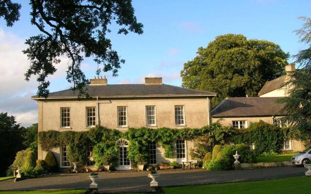
What is recorded here
Three large almost square shaped enclosures plus one circular one appear on aerial photo (CUCAP AVT 84) in 1968 but are not to be seen on 1973 aerial photos (GSI N 449/8, N 506/5). Not visible at ground level.
The above description is derived from the published 'Archaeological Inventory of County Offaly' (Dublin: Stationery Office, 1997). In certain instances the entries have been revised and updated in the light of recent research.
Date of upload: 23 May 2011
The monument record does not grant public access. Check the route and ask the landowner before entering private land.
- What survives
- Recorded monument
Places near here
 RoadRoad, class 3 togher · 1053 yd
 StructureStructure, peatland · 1655 yd
 IndicatedEnclosure · 1.1 mi
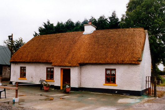 farm housefarm house · 1.5 mi
 Bawn in BallykeanBawn · 1.8 mi
 The Lord's WellSpring · 1.9 mi
 Geashill Castle (ruins)Castle · 2.1 mi
 Father BurbageMemorial · 2.2 mi
 Geashill Glebe WalkVisitor information · 2.2 mi
 Furzehill WoodWood · 2.9 mi
 Mountlucas Wind Farm Visitors CentreVisitor information · 3.0 mi
 Ghaugher HillMountain / peak · 4.1 mi
Other information
Photo: Credit not shown in the picture search · Rights wording not checked; contact us if this picture should be removed