What is recorded here
No surface evidence of possible sites showing on aerial photo (GSI N 506/5).
The above description is derived from the published 'Archaeological Inventory of County Offaly' (Dublin: Stationery Office, 1997). In certain instances the entries have been revised and updated in the light of recent research.
Date of upload: 23 May 2011
The monument record does not grant public access. Check the route and ask the landowner before entering private land.
- What survives
- Recorded monument
Places near here
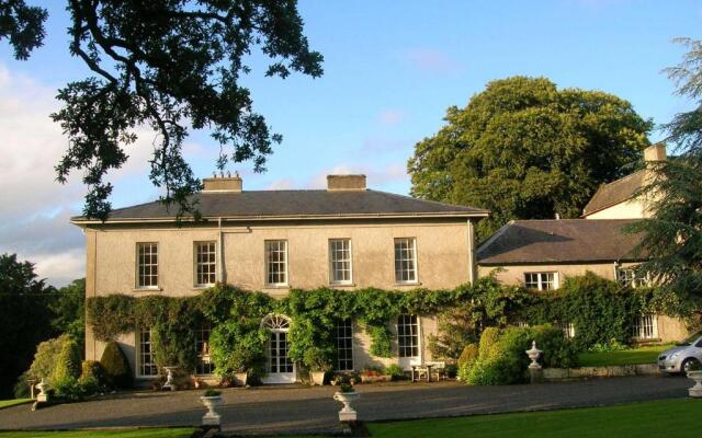 Enclosure in Ballyduff (phillipstown Upper By.)Enclosure · 605 yd
 RoadRoad, class 3 togher · 1460 yd
 Enclosure in Ballintogher (phillipstown Upper By., O'dempsy Ed)Enclosure · 1.0 mi
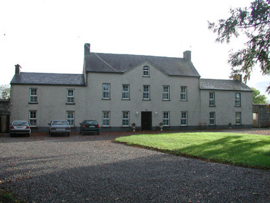 Ballychristal Househouse · 1.4 mi
 Geashill Castle (ruins)Castle · 1.7 mi
 Bawn in BallykeanBawn · 1.8 mi
 Father BurbageMemorial · 1.8 mi
 Geashill Glebe WalkVisitor information · 1.9 mi
 The Lord's WellSpring · 2.0 mi
 Furzehill WoodWood · 2.5 mi
 Mountlucas Wind Farm Visitors CentreVisitor information · 3.3 mi
 Lady's WellSpring · 3.9 mi