What is recorded here
In gently undulating pasture, overlooking the River Shannon estuary, c. 2km to N. Not depicted on OS historic mapping. A circular-shaped enclosure visible on aerial photography taken by Michael Moore 04/03/2006.
See attached Google Earth orthoimage 05/02/2009.
Compiled by: Alison McQueen and Vera Rahilly
Date of upload: 22 June 2020
See attached ASI aerial photographs ASIAP – taken on 04/03/2006.
The monument record does not grant public access. Check the route and ask the landowner before entering private land.
- What survives
- Recorded monument
Places near here
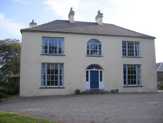 Cartown Housecountry house, gate lodge · 529 yd
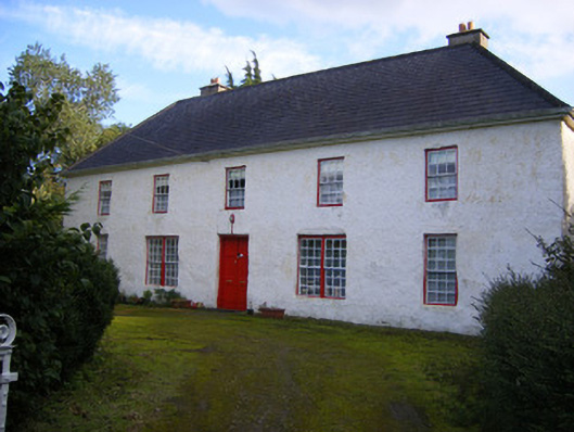 Mount Pleasantfarm house · 867 yd
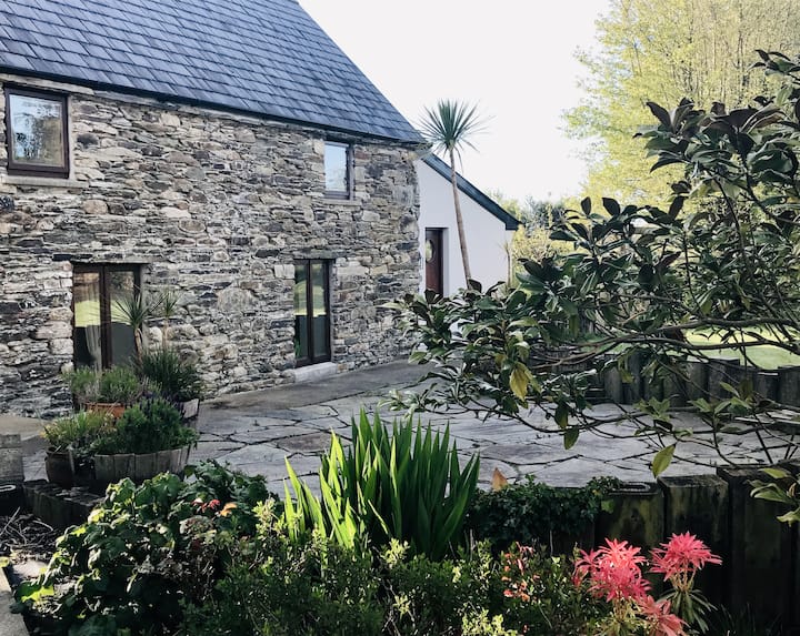 Enclosure in BallynacarrigaEnclosure · 1194 yd
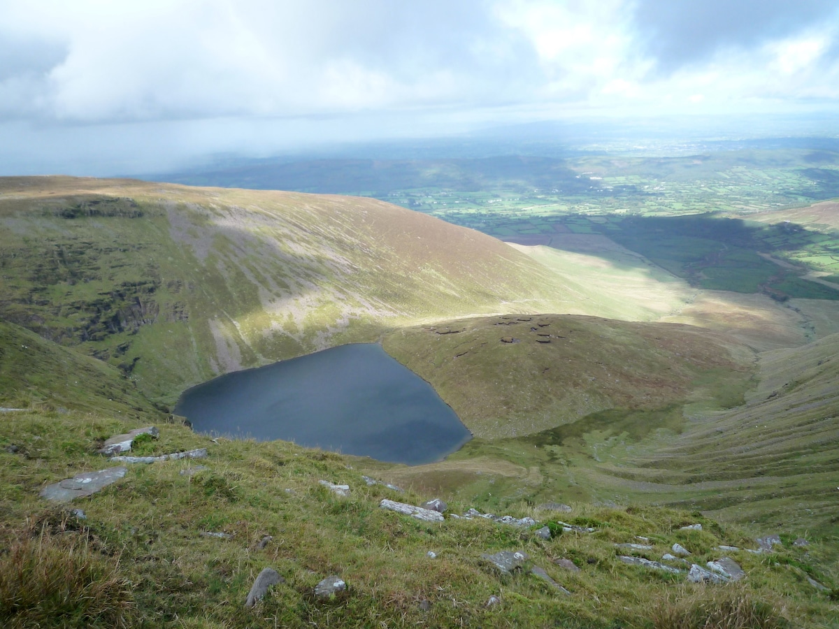 IndicatedEnclosure · 1283 yd
 Shanpallas CastleCastle · 1292 yd
 Castle (in ruins)Castle, tower house · 1303 yd
 Sweet ChestnutSweet Chestnut · 1673 yd
 Mellon PointHeadland · 1.3 mi
 Rinekirk PointHeadland · 1.6 mi
 Ringmoylan PierVisitor information · 1.9 mi
 Grass IslandIslet · 1.9 mi
 Celtic Park and GardensHeritage attraction · 3.1 mi