
What is recorded here
'This complex is situated on top of a limestone reef which affords extensive views to the north, east, south and west, the Paps mountains being visible to the east. The field in which this site is located is slightly marshy, and is predominantly devoted to grazing and rough pasture. The large bi-vallate ringfort of Rathanny [KE030-032----] is located c.150m to the north, but is now almost completely levelled as a result of field clearance. The interior of the enclosure is now overgrown with briars, scrub and white-thorn bushes.......surrounding the cairn [KE030-119002-] on the crest of this limestone reef, is a circular enclosure measuring 37.5m in diameter. The bank is now grass covered, but appears to be constructed primarily of stone. The average width of this bank is 5.00m, and has an average external height of 0.45m, the average internal height being 0.30m. A possible entrance feature occurs at south-east, marked by a 6.50m wide gap in the bank.'
Compiled by Michael Connolly for the Archaeological Survey of Ireland as part of a survey of the Lee Valley area in 1996-97.
Date of upload: 30 April 2012
The monument record does not grant public access. Check the route and ask the landowner before entering private land.
- What survives
- Recorded monument
Places near here
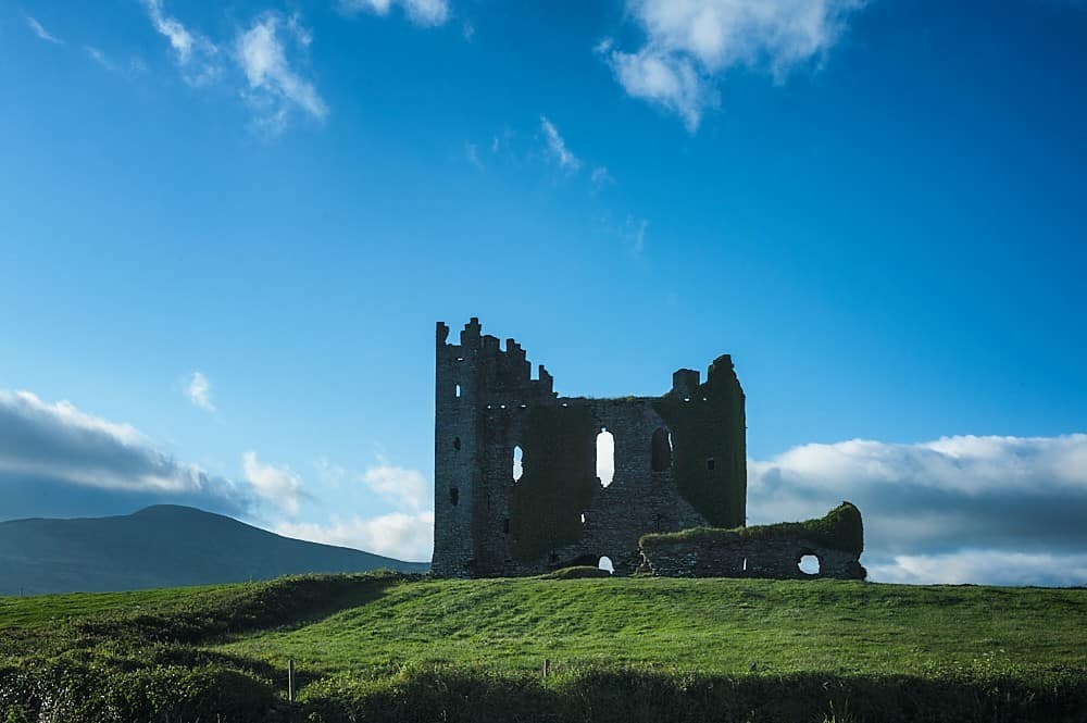 Enclosure in BallyfinogeEnclosure · 1124 yd
 Church in Crag (trughanacmy By., O'brennan Ed)Church · 1227 yd
 Enclosure in Ballydwyer EastEnclosure · 1429 yd
 Site of McElligotts CastleCastle, unclassified · 1613 yd
 PouldermotCave · 1707 yd
 Poulclashcannon (blocked)Cave · 1730 yd
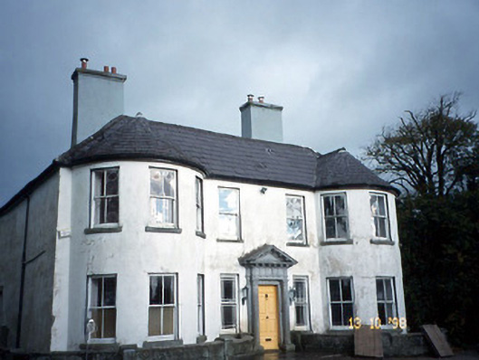 Arabela Househouse · 1.3 mi
 Site of Rockfield Ho.Castle, unclassified · 1.4 mi
 Common AlderCommon Alder · 2.4 mi
 CruslineMountain / peak · 3.3 mi
 Stack's MountainMountain / peak · 3.6 mi
 Monterey PineMonterey Pine · 4.5 mi
Other information
Photo: Credit not shown in the picture search · Rights wording not checked; contact us if this picture should be removed