What is recorded here
The site is situated in improved pasture in relatively level ground which falls away gradually to the SE. It is marked on the 1843 OS 6-inch map as a circular earthwork (diam c. 20m). The field has since been reclaimed leaving no visible trace of the monument at ground level.
Compiled by: Geraldine Stout and Padraig Clancy.
Revised upload on: 14 April 2018.
This remains an important historical record, but the official description says the monument is no longer visible or has been destroyed. The monument record does not grant public access. Check the route and ask the landowner before entering private land.
- What survives
- No visible remains or recorded as destroyed
Places near here
 IndicatedEnclosure · 131 yd
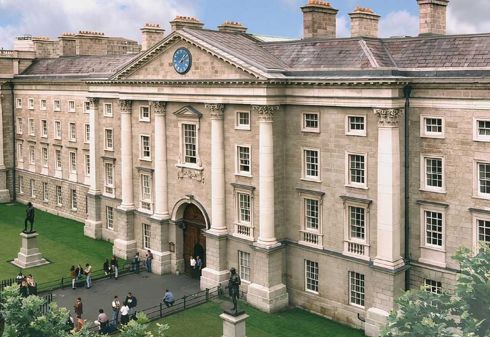 Enclosure in BallybetaghEnclosure · 444 yd
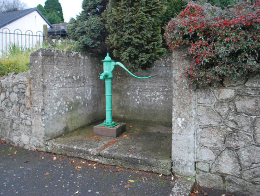 water pumpwater pump · 453 yd
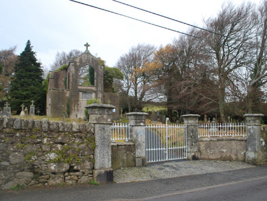 Saint Patrick's Catholic Chapelchurch/chapel · 523 yd
 Ballybetagh WoodForest · 1238 yd
 Barnaslingan HillMountain / peak · 1.3 mi
 Barnaslingan - Scalp Lookout TrailWalking route · 1.4 mi
 Barnaslingan - Pine loop trailWalking route · 1.5 mi
 Ballycorus castle Site ofCastle, tower house · 1.6 mi
 Ballyedmonduff ForestForest · 1.7 mi
 Prince William's SeatMountain / peak · 1.8 mi
 Dublin Mountains Partnership InformationVisitor information · 2.5 mi