What is recorded here
In pasture, on break in gentle E-facing slope. Rectangular slightly raised area (21.6m N-S; 22.8m E-W) enclosed by earthen bank (int. H 0.8m; ext. H 1.57m). Bank best-preserved S->SW, becomes scarp-edge like SE->S. Site heavily masked by vegetation cover. Relatively level interior covered with briars.
Compiled by: Denis Power
Date of upload: 26 August 2011
The monument record does not grant public access. Check the route and ask the landowner before entering private land.
- What survives
- Recorded monument
Places near here
 schoolschool · 586 yd
 Beagh Church (in ruins)Church · 611 yd
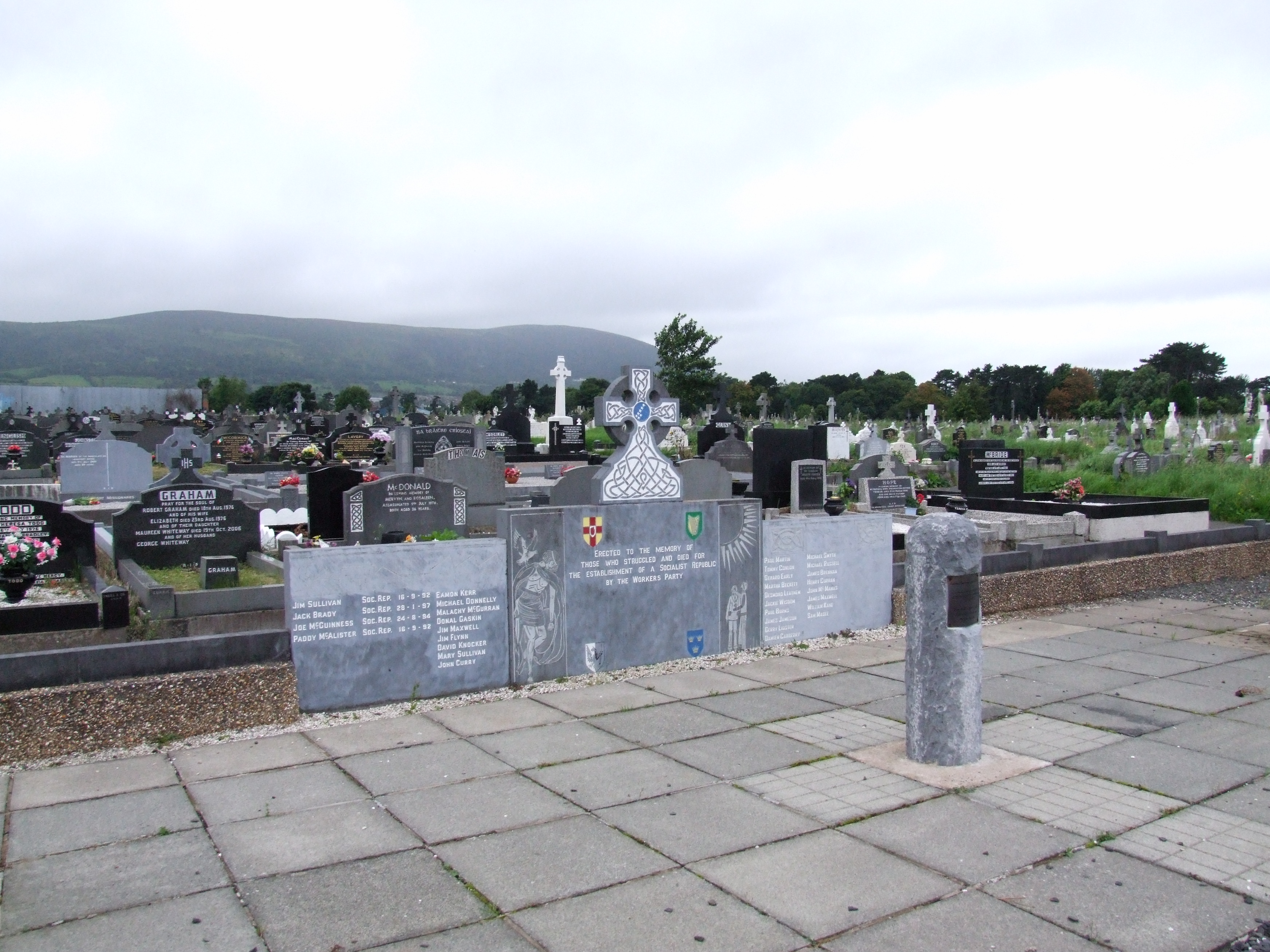 (Site of) Grave YardBurial ground · 1.1 mi
 Beagh Castle (in ruins)Castle, tower house · 1.3 mi
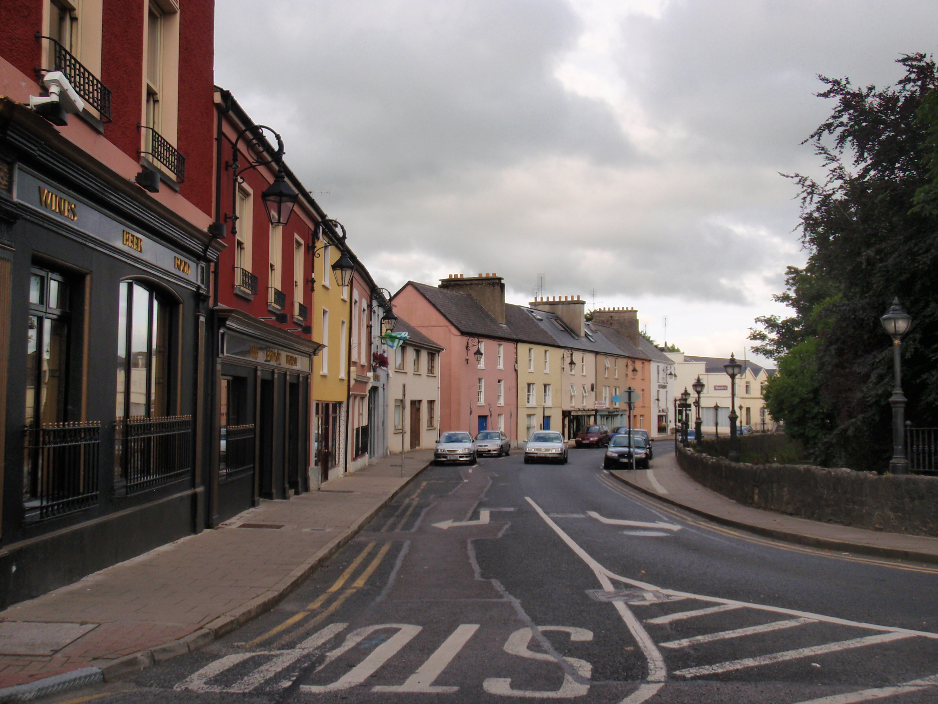 IndicatedFairy fort / earthen ringfort · 1.4 mi
 CastleCastle, tower house · 1.9 mi
 Courtbrown PointHeadland · 2.3 mi
 Greenish IslandIslet · 2.5 mi
 Horse RockNamed rock · 2.9 mi
 Holly IslandIslet · 3.1 mi
 Askeaton CastleHeritage attraction · 3.2 mi
 Ringmoylan PierVisitor information · 3.4 mi