
What is recorded here
Located on the tip of a short NE-SW spur. The cropmark of a small enclosure (diam. c. 25m WNW-ESE; c. 25m NNE-SSW) defined by a slight fosse is visible only on Google Earth (14/07/2018), although the fosse is absent S-SSW. The enclosure is overlain by a WNW-ESE field bank and townland boundary with Ballinvally on the SW and Curratubbin Upr. On the NE side. It was first reported by Simon Dowling.
See the attached enhanced view from Google Earth
Compiled by: Michael Moore
Date of upload: 3 March 2020
The monument record does not grant public access. Check the route and ask the landowner before entering private land.
- What survives
- Recorded monument
Places near here
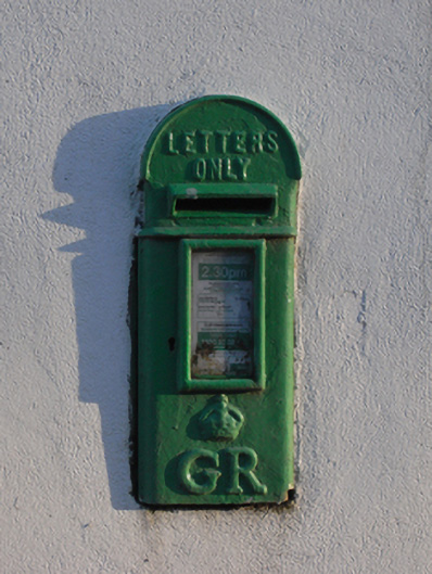 post boxpost box · 771 yd
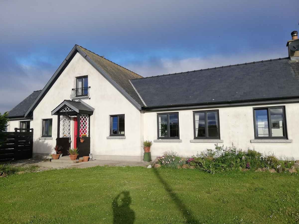 Not indicaetdFairy fort / earthen ringfort · 827 yd
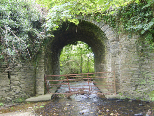 Ballinvally Bridgebridge · 937 yd
 Enclosure in Ballinastraw UpperEnclosure · 1437 yd
 Boley HillMountain / peak · 1.9 mi
 Carrigroe HillMountain / peak · 2.7 mi
 Giants BedNamed rock · 3.1 mi
 Bird BoxesVisitor information · 3.2 mi
 Fontainebleau service treeFontainebleau service tree · 3.4 mi
 Birds of PreyVisitor information · 3.4 mi
 The CoilWood · 3.6 mi
 Shrule Deer FarmHeritage attraction · 3.6 mi
Other information
Photo: Credit not shown in the picture search · Rights wording not checked; contact us if this picture should be removed