
What is recorded here
On a slight N-facing slope, in rear garden of private dwelling house, with good views from W-N-E and restricted elsewhere. Not depicted on OS historic mapping. Monument identified as the cropmark of an enclosure on aerial photography during assessment of the route for the Limerick pipeline (Curraleigh West Map 7, Site 7/23). Monument surveyed by the ASI in 2000 and described as no surface remains visible. Monument is not visible on Digital Globe orthophotos taken 2011-13 or on Google Earth orthoimage taken 28/06/2018.
Compiled by: Alison McQueen and Vera Rahilly
Date of upload: 11 August 2020
The monument record does not grant public access. Check the route and ask the landowner before entering private land.
- What survives
- Recorded monument
Places near here
 Enclosure in Dooneen UpperEnclosure · 405 yd
 Hut site in GreenmountHut site · 848 yd
 Crecora Church (in ruins)Church · 1098 yd
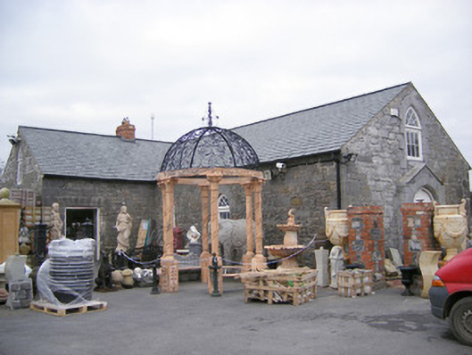 Old School Housechurch/chapel · 1253 yd
 Castle FieldCastle, unclassified · 1.3 mi
 Ballinveala Castle (in ruins)Castle, tower house · 1.5 mi
 Biodiversity in the Maigue CatchmentVisitor information · 4.6 mi
 Monasteranenagh AbbeyHeritage attraction · 4.8 mi
 Dysert AenghusaHeritage attraction · 5.0 mi
 European ashEuropean ash · 5.0 mi
 Kinnoor WellSpring · 6.6 mi
 Flat cemetery in Kiltenan SouthFlat cemetery · 7.4 mi
Other information
Photo: Credit not shown in the picture search · Rights wording not checked; contact us if this picture should be removed