What is recorded here
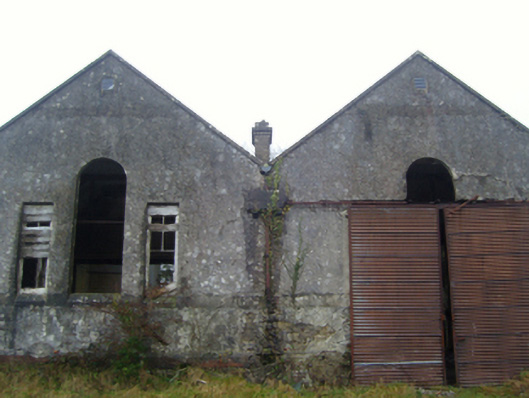
In lowlying, somewhat neglected pasture. Views are fairly good, especially towards a ridge to NE. There is a derelict farmstead to WSW.
Not shown on any edition of the OS 6-inch mapping. Listed in the SMR (1991) and the RMP (1997) as a possible enclosure on the basis of an aerial photograph (SMR file: GSI M 688 -7; Roll 217, pr. 35).
This partly levelled enclosure consists of a roughly circular area (diam. c. 16m) defined by a fosse (Wth 2.5m at N, 3m at S; D 0.5-0.7m) evident as a shallow depression, most clearly defined on the SW arc. There is a discrete length of stony bank (L 2m; Wth 1.5-2m; H 0.5-1m) on the inner edge of the fosse at SW which might be the remnant of an enclosing bank but this is very uncertain. Immediately outside the fosse at NW there is a slight rise/cropmark (rougher vegetation), possibly the remnant of an outer bank but again this is very uncertain and it cannot be traced elsewhere. A roughly circular depression (diam. c. 4m; D 0.4m) is dug into the N sector of the interior, with a similar stony hollow, slightly smaller and shallower, immediately to S.
Compiled by: Jane O’Shaughnessy
Date of upload: 24 September 2021
The monument record does not grant public access. Check the route and ask the landowner before entering private land.
- What survives
- Recorded monument
Places near here
 Kinaff Bridgebridge · 1147 yd
 Lisduff National Schoolschool · 1.1 mi
 Thorn CaveCave · 1.1 mi
 Enclosure in JohnsfortEnclosure · 1.8 mi
 I'll Send You The FareMemorial · 2.6 mi
 Kiltimagh MuseumMuseum · 2.6 mi
 Brabazon WoodsForest · 4.1 mi
 Youth Memorial GardenMemorial · 4.3 mi
 Carrowbeg WoodWood · 4.6 mi
 CashlankeeghCastle, unclassified · 4.7 mi
 Castle in ruinsCastle, tower house · 4.9 mi