What is recorded here
Enclosure in Ballindoney West is an enclosure in Ballindoney West, County Tipperary, Ireland. It appears as a sub-rectangular cropmark just off the crest of a hill in a very gradual south-facing slope under barley. Another enclosure lies about 30 metres to the south, while Ballindoney tower house stands about 15 kilometres to the south-southwest. A field boundary that cut across the site was removed years ago and still shows as a cropmark.
Just off crest of hill in very gradual S-facing slope in undulating terrain, under tillage - barley. Ballindoney tower house (TS082-059----) visible c. 15km to SSW. Another enclosure (TS082-092----), also identified on an aerial photograph, lies c. 30m to the S. Monument not marked on 1st (1840) or 1904-05 ed. OS 6-inch map. Identified as sub-rectangular cropmark on aerial photographs (ASIAP (30) 36-37, 3.8.1996). A field boundary which transected the enclosure, possibly after the monument was levelled, was removed some years ago and also appears as a cropmark. There is no knowledge or tradition of a 'fort' in this field.
Compiled by: Jean Farrelly
Date of upload: 14 February 2014
The monument record does not grant public access. Check the route and ask the landowner before entering private land.
- What survives
- Recorded monument
Places near here
 Enclosure in Ballindoney WestEnclosure · 51 yd
 IndicatedEnclosure · 587 yd
 Nicholastown Castle (in ruins)Castle, tower house · 1343 yd
 Ballindoney Castle (in ruins)Castle, tower house · 1659 yd
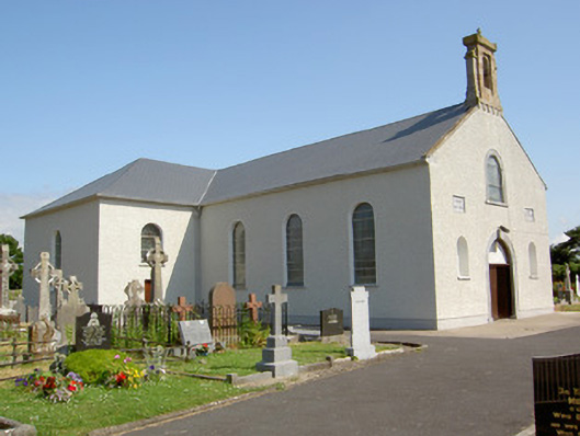 Saint Nicholas's Catholic Churchchurch/chapel · 1.1 mi
 Church in KilmalogeChurch · 1.1 mi
 DeerparkWood · 2.3 mi
 Deodar CedarDeodar Cedar · 2.6 mi
 Woodcock HillMountain / peak · 2.7 mi
 Cahir CastleHeritage attraction · 3.9 miSiege of Cahir Castlesiege · 4.0 mi
 Caher AbbeyHeritage attraction · 4.1 mi