What is recorded here
Marked as a D-shaped enclosure with a wide fosse (ext. dims. c. 50m NW-SE; c. 30m NE-SW) only on the 1925 ed. of the OS 6-inch map. Situated at the edge of a small cliff overlooking the NW-SE Garraun stream to the S just where it enters the Back Strand at Tramore. This is the semicircular arc (C c. 50m N-E) of a silted fosse (Wth 4-5m), with a slightly concave profile, evident as a band of lush vegetation. Bands of dry grass (Wth 4-5m) internally and externally indicate the location of enclosing banks. It is now landscaped as a private garden.
The above description is derived from the published 'Archaeological Inventory of County Waterford' (Dublin: Stationery Office, 1999). In certain instances the entries have been revised and updated in the light of recent research.
Compiled by: Michael Moore
Date of upload/revision: 30 July 2010
The monument record does not grant public access. Check the route and ask the landowner before entering private land.
- What survives
- Recorded monument
Places near here
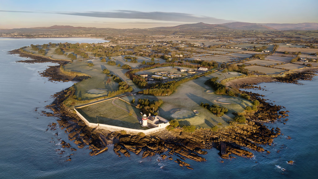 Embanked enclosureFairy fort / ringfort · 376 yd
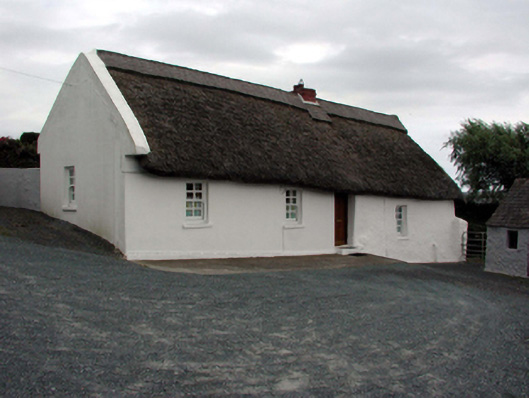 farm housefarm house · 487 yd
 Spring Farmhouse · 1044 yd
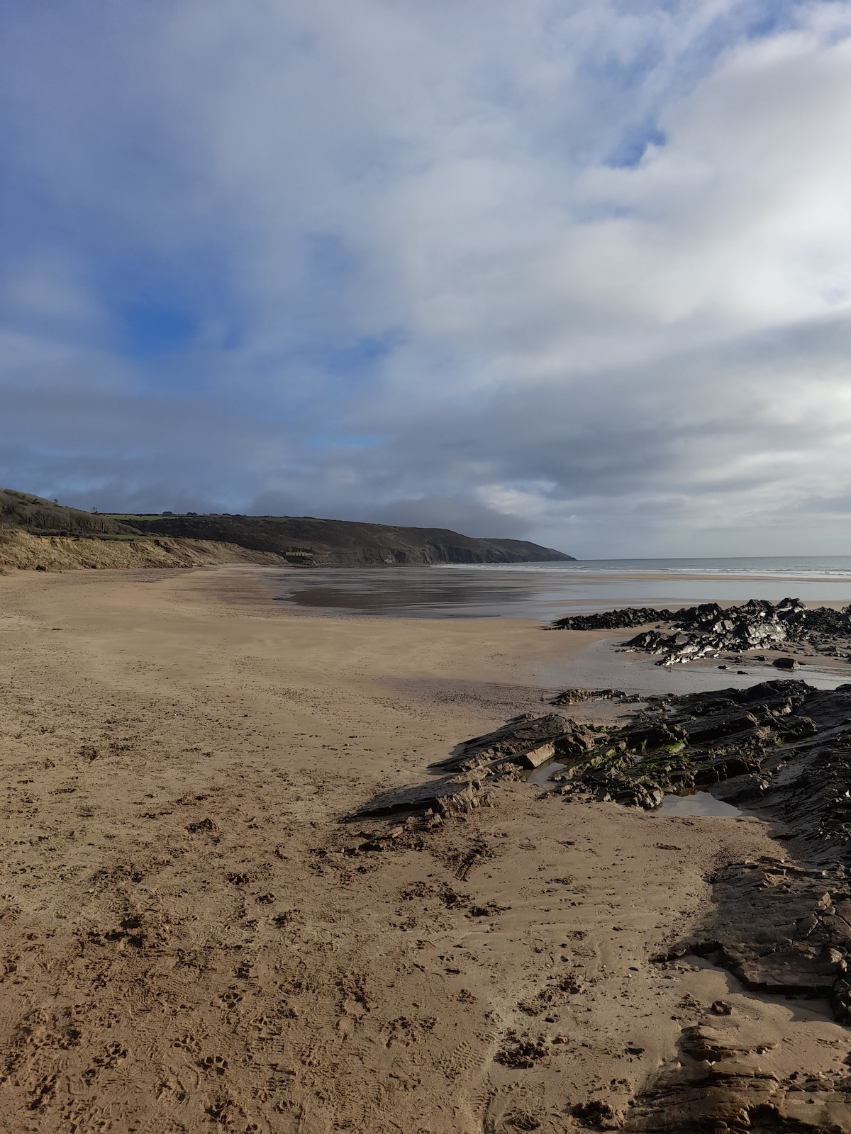 Enclosure in Crobally Upper (middlethird By.)Enclosure · 1081 yd
 Tramore Dunes WalkWalking route · 1355 yd
 Tramore Tourist OfficeVisitor information · 1667 yd
 Tourist InformationVisitor information · 1751 yd
 Tramore StrandBeach / strand · 1.3 mi
 Cannon GunBattlefield · 1.4 mi
 Doneraile WalkWalking route · 1.5 mi
 Memory of the crew of "Rescue 111"Memorial · 1.8 mi