What is recorded here
In poorly drained, generally level pasture. Monument identified on an aerial photograph (ASIAP (312)26 13/09/02). Enclosure (TS060-045----) is c. 34m to W. Sub-circular area (dims. 18m NNW-SSE; 16m ENE-WSW) defined by scarp (Wth 1.5m; H 0.45m) which has been straightened across WSW-sector due to linear drain on this side and also along N-sector, where fosse re-cut as drain. Possible entrance (overall Wth 5.5m; basal Wth 3m) at SE where it is cut into interior ground level and covered in yellow flags. Fosse (overall Wth 5.1m; basal Wth 2.5m; D 0.2m) is best preserved NE-ESE and possibly at SW where it appears unmodified. Fosse traceable ESE-SW and straightened and backfilled across WSW-sector and straightened and re-cut across N-sector. Fosse obscured NW-N by dense briars encroaching onto scarp. Interior has a gentle depression within from where ground slopes upwards to upper edge of scarp.
Compiled by: Jean Farrelly
Date of upload: 26 August 2011
The monument record does not grant public access. Check the route and ask the landowner before entering private land.
- What survives
- Recorded monument
Places near here
 Enclosure in Ballinamona (oughterleague Par.)Enclosure · 77 yd
 TobernagloryHoly well · 412 yd
 Castle (in ruins)Castle, tower house · 671 yd
 Ballygriffin Ch. (in ruins)Church · 1413 yd
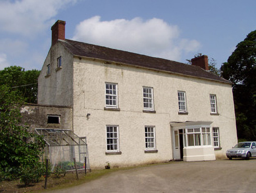 Kilmore Househouse · 1418 yd
 CastleHouse, fortified house · 1516 yd
 European ashEuropean ash · 1516 yd
 Woodcock GroveWood · 2.3 mi
 Athassel PrioryHeritage attraction · 3.4 mi
 Hore AbbeyHeritage attraction · 4.0 mi
 I.R.A. 3rd. Tipperary Brigade MemorialMemorial · 7.3 mi
 The Maid of ErinMemorial · 8.1 mi