What is recorded here
A circular enclosure visible as a crop mark on an aerial photograph together with other features that could indicate a possible field system (ME034-016----) (SMR file; pers. comm. T. Condit).
Compiled by: David O’Connor
Date of upload: 31 October 2013
The monument record does not grant public access. Check the route and ask the landowner before entering private land.
- What survives
- Recorded monument
Places near here
 Enclosure in MullaghteelinEnclosure · 601 yd
 Enclosure in BallestranEnclosure · 698 yd
 Ballshill PlantingForest · 1347 yd
 QuarryQuarry · 1704 yd
 Tullog WoodForest · 1.4 mi
 MoatCastle, motte · 1.6 mi
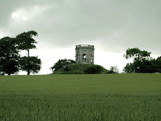 Herbertstown Housebelvedere, gazebo · 1.9 mi
 Gormanston CastleCastle · 2.2 mi
 Seamus Ennis Cultural CentreMemorial · 2.8 mi
 Bun-na-CnoicMemorial · 3.1 mi
 Clonard SpringSpring · 3.3 mi
 Naul HillMountain / peak · 3.5 mi