
What is recorded here
A circular enclosure visible as a crop mark on an aerial photograph (SMR file; pers. comm. T. Condit).
Compiled by: David O’Connor
Date of upload: 5 November 2013
A local fairy fort (ringfort/rath); wider significance not recorded.
The monument record does not grant public access. Check the route and ask the landowner before entering private land.
- What survives
- Recorded monument
Places near here
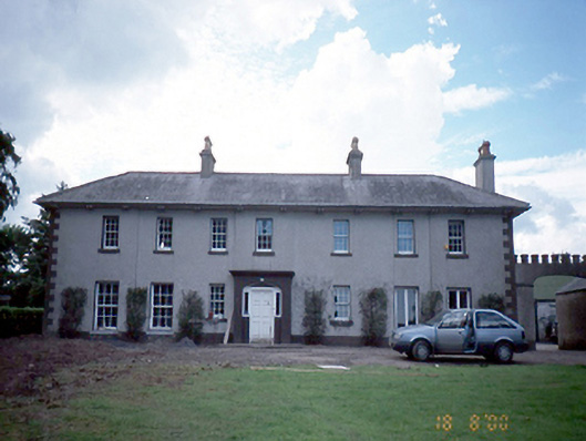 Prospect Hill Housefarm house · 793 yd
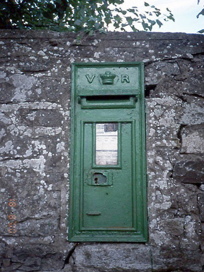 post boxpost box · 965 yd
 Field system in GrallaghField system · 1118 yd
 The story of the milk standMemorial · 1.4 mi
 Ring-ditch in MallahowRing-ditch · 1.4 mi
 St. John's WellSpring · 1.6 mi
 Westown HouseCastle, tower house · 2.0 mi
 Naul HillMountain / peak · 2.1 mi
 Naul Park HouseCastle, unclassified · 2.4 mi
 Bun-na-CnoicMemorial · 2.5 mi
 Newtown GorseWood · 2.8 mi
 St Kenny's WellSpring · 3.0 mi
Other information
Photo: Credit not shown in the picture search · Rights wording not checked; contact us if this picture should be removed